Ouzoud to Fès
- 348.5 km
- 4,340 m
- 4,728 m
- Tabia, Tadla-Azilal, Morocco
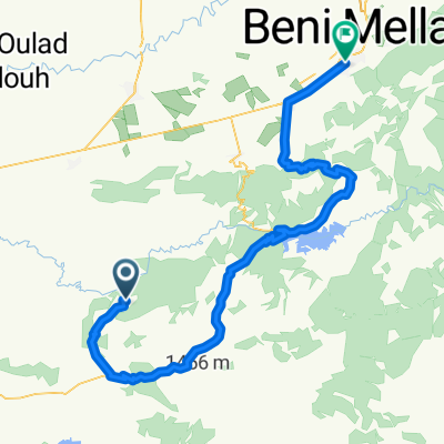
Dag 5: Ouzoud - Demnate
(cloned from route 3351728)Road
55.4 km55 %Quiet road
8.1 km8 %Paved
56.4 km(56 %)Unpaved
1 km(1 %)Asphalt
56.4 km56 %Unpaved (undefined)
1 km1 %Undefined
43.3 km43 %Free trial for 3 days, or one-time payment. More about Bikemap Premium.
Discover more Premium features.
Get Bikemap PremiumOpen it in the app