
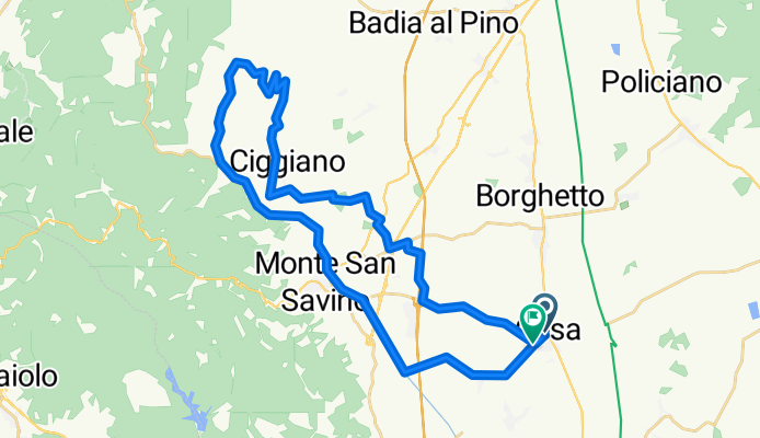
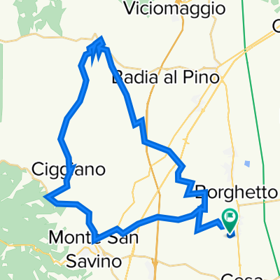
Poggio Muriccia
A cycling route starting in Cesa, Tuscany, Italy.
Overview
About this route
Cesa Le Vertivìghe across Ciggiano Poggio Muriccia
- -:--
- Duration
- 39.6 km
- Distance
- 545 m
- Ascent
- 534 m
- Descent
- ---
- Avg. speed
- ---
- Max. altitude

Route quality
Waytypes & surfaces along the route
Waytypes
Track
10.3 km
(26 %)
Quiet road
7.5 km
(19 %)
Surfaces
Paved
15.4 km
(39 %)
Unpaved
4.4 km
(11 %)
Asphalt
9.5 km
(24 %)
Paved (undefined)
5.9 km
(15 %)
Continue with Bikemap
Use, edit, or download this cycling route
You would like to ride Poggio Muriccia or customize it for your own trip? Here is what you can do with this Bikemap route:
Free features
- Save this route as favorite or in collections
- Copy & plan your own version of this route
- Sync your route with Garmin or Wahoo
Premium features
Free trial for 3 days, or one-time payment. More about Bikemap Premium.
- Navigate this route on iOS & Android
- Export a GPX / KML file of this route
- Create your custom printout (try it for free)
- Download this route for offline navigation
Discover more Premium features.
Get Bikemap PremiumFrom our community
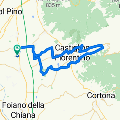
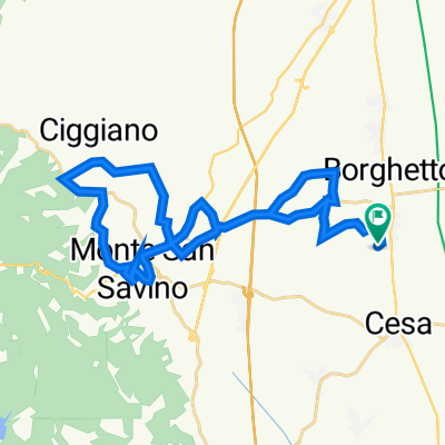
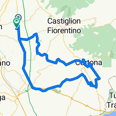
Other popular routes starting in Cesa
 Da Via del Tonacato, Monte San Savino a Via del Tonacato 13, Monte San Savino
- Distance
- 48.7 km
- Ascent
- 76 m
- Descent
- 115 m
- Location
- Cesa, Tuscany, Italy
 Da località Tonacato 8/A, Monte San Savino a località Tonacato 8/A, Monte San Savino
- Distance
- 32.9 km
- Ascent
- 297 m
- Descent
- 300 m
- Location
- Cesa, Tuscany, Italy
 Da Via di Montagnano 80 a Via del Tonacato, Monte San Savino
- Distance
- 66.7 km
- Ascent
- 901 m
- Descent
- 827 m
- Location
- Cesa, Tuscany, Italy
 Località Poggio Ciliegio 1, Arezzo to Località Poggio Ciliegio 1, Arezzo
- Distance
- 21.1 km
- Ascent
- 101 m
- Descent
- 103 m
- Location
- Cesa, Tuscany, Italy
 Da Via del Tonacato 178, Monte San Savino a Via del Tonacato 178, Monte San Savino
- Distance
- 39.6 km
- Ascent
- 617 m
- Descent
- 616 m
- Location
- Cesa, Tuscany, Italy
 Moderate route
- Distance
- 14.6 km
- Ascent
- 33 m
- Descent
- 38 m
- Location
- Cesa, Tuscany, Italy
 Civitella e poggi nei dintorni
- Distance
- 59.1 km
- Ascent
- 880 m
- Descent
- 880 m
- Location
- Cesa, Tuscany, Italy
 madonna del bagno/ val di chio
- Distance
- 48.4 km
- Ascent
- 115 m
- Descent
- 215 m
- Location
- Cesa, Tuscany, Italy
Open it in the app