

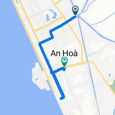
Rach Gia to Can Tho
A cycling route starting in Rach Gia, Kiên Giang Province, Vietnam.
Overview
About this route
planned with google maps
(cloned from route 2858059)
- -:--
- Duration
- 106.7 km
- Distance
- 17 m
- Ascent
- 19 m
- Descent
- ---
- Avg. speed
- ---
- Max. altitude
Continue with Bikemap
Use, edit, or download this cycling route
You would like to ride Rach Gia to Can Tho or customize it for your own trip? Here is what you can do with this Bikemap route:
Free features
- Save this route as favorite or in collections
- Copy & plan your own version of this route
- Split it into stages to create a multi-day tour
- Sync your route with Garmin or Wahoo
Premium features
Free trial for 3 days, or one-time payment. More about Bikemap Premium.
- Navigate this route on iOS & Android
- Export a GPX / KML file of this route
- Create your custom printout (try it for free)
- Download this route for offline navigation
Discover more Premium features.
Get Bikemap PremiumFrom our community
Other popular routes starting in Rach Gia
 ins Rice Resort Teil 1
- Distance
- 60.4 km
- Ascent
- 26 m
- Descent
- 27 m
- Location
- Rach Gia, Kiên Giang Province, Vietnam
 23-1.014.01_RạchGiá_ThớiBình_96km
- Distance
- 96.2 km
- Ascent
- 145 m
- Descent
- 147 m
- Location
- Rach Gia, Kiên Giang Province, Vietnam
 VN 4 Rach Gia to Chau Doc
- Distance
- 118.3 km
- Ascent
- 110 m
- Descent
- 109 m
- Location
- Rach Gia, Kiên Giang Province, Vietnam
 Rach Gia to Can Tho
- Distance
- 106.7 km
- Ascent
- 17 m
- Descent
- 19 m
- Location
- Rach Gia, Kiên Giang Province, Vietnam
 Moderate route in Rach Gia
- Distance
- 21 km
- Ascent
- 0 m
- Descent
- 3 m
- Location
- Rach Gia, Kiên Giang Province, Vietnam
 Rach Gia to Ha Tien
- Distance
- 85.7 km
- Ascent
- 61 m
- Descent
- 60 m
- Location
- Rach Gia, Kiên Giang Province, Vietnam
 t4, ngay 01-10-2025
- Distance
- 5.7 km
- Ascent
- 22 m
- Descent
- 15 m
- Location
- Rach Gia, Kiên Giang Province, Vietnam
 Rach Gia-Vithanh
- Distance
- 62 km
- Ascent
- 4 m
- Descent
- 10 m
- Location
- Rach Gia, Kiên Giang Province, Vietnam
Open it in the app