

Overview
About this route
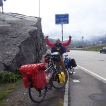
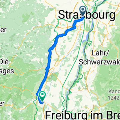
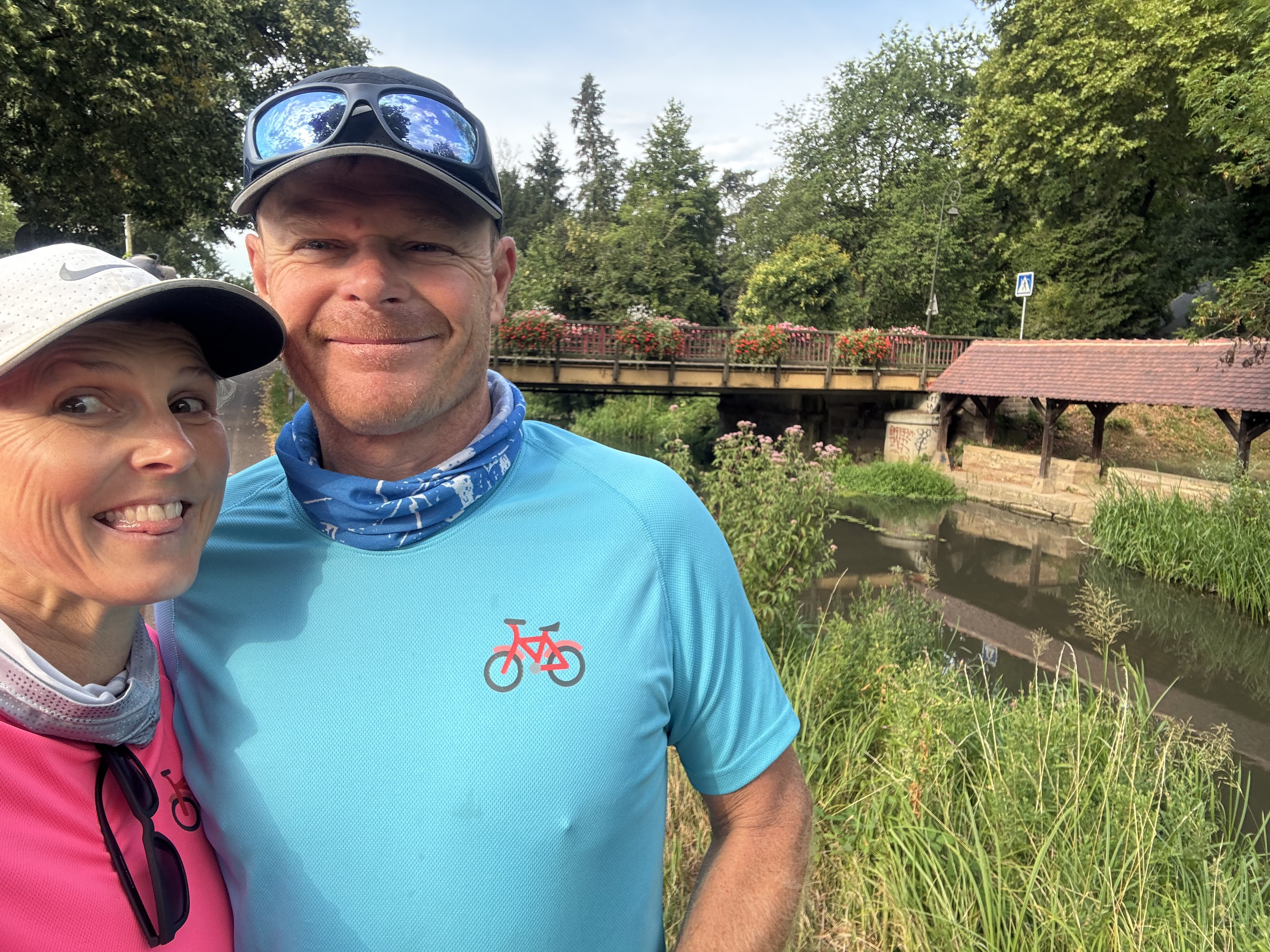
03 2016 Strassbourg - Mülheim Neuenburg
- -:--
- Duration
- 116.1 km
- Distance
- 111 m
- Ascent
- 41 m
- Descent
- ---
- Avg. speed
- ---
- Max. altitude

Part of
2016
6 stages
Route quality
Waytypes & surfaces along the route
Waytypes
Track
65 km
(56 %)
Path
15.1 km
(13 %)
Surfaces
Paved
36 km
(31 %)
Unpaved
65 km
(56 %)
Gravel
56.9 km
(49 %)
Asphalt
29 km
(25 %)
Continue with Bikemap
Use, edit, or download this cycling route
You would like to ride 2016 3 Trier - Gotthardpass or customize it for your own trip? Here is what you can do with this Bikemap route:
Free features
- Save this route as favorite or in collections
- Copy & plan your own version of this route
- Split it into stages to create a multi-day tour
- Sync your route with Garmin or Wahoo
Premium features
Free trial for 3 days, or one-time payment. More about Bikemap Premium.
- Navigate this route on iOS & Android
- Export a GPX / KML file of this route
- Create your custom printout (try it for free)
- Download this route for offline navigation
Discover more Premium features.
Get Bikemap PremiumFrom our community
Other popular routes starting in Eckbolsheim
 2016 3 Trier - Gotthardpass
- Distance
- 116.1 km
- Ascent
- 111 m
- Descent
- 41 m
- Location
- Eckbolsheim, Grand Est, France
 Strasbourg to Colmar (Passed)
- Distance
- 77.2 km
- Ascent
- 71 m
- Descent
- 26 m
- Location
- Eckbolsheim, Grand Est, France
 Day 12: Strasbourg to Rastatt, GR
- Distance
- 62.8 km
- Ascent
- 115 m
- Descent
- 137 m
- Location
- Eckbolsheim, Grand Est, France
 Von Straßburg bis Colmar
- Distance
- 85.4 km
- Ascent
- 401 m
- Descent
- 358 m
- Location
- Eckbolsheim, Grand Est, France
 Voie Verte de Brienne-le-Château à Barrière-sur-Seine, Eckbolsheim to Rue du Maréchal Kellermann, Molsheim
- Distance
- 22.1 km
- Ascent
- 42 m
- Descent
- 6 m
- Location
- Eckbolsheim, Grand Est, France
 2 Rue Henri Bergson, Strasbourg à Route de Holtzheim, Achenheim
- Distance
- 8.7 km
- Ascent
- 12 m
- Descent
- 10 m
- Location
- Eckbolsheim, Grand Est, France
 Pont Pflimlin
- Distance
- 39.4 km
- Ascent
- 136 m
- Descent
- 179 m
- Location
- Eckbolsheim, Grand Est, France
 2 Rue Henri Bergson, Strasbourg à 1–7 Rue Touchemolin, Strasbourg
- Distance
- 6.5 km
- Ascent
- 158 m
- Descent
- 172 m
- Location
- Eckbolsheim, Grand Est, France
Open it in the app