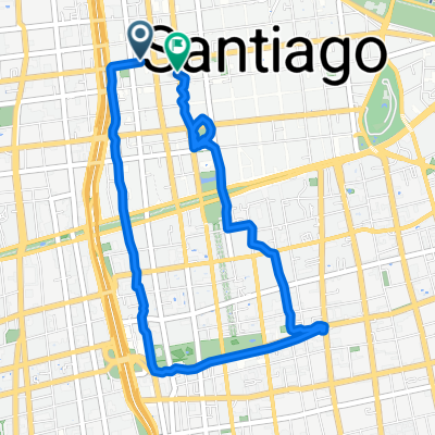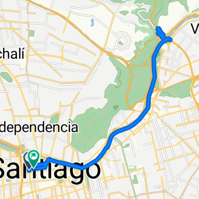
Catedral, Santiago a Catedral, Santiago
- 20.8 km
- 187 m
- 184 m
- Santiago, Santiago Metropolitan, Chile
A cycling route starting in Santiago, Santiago Metropolitan, Chile.
Overview
Recreational Route for Riders
created this 9 years ago
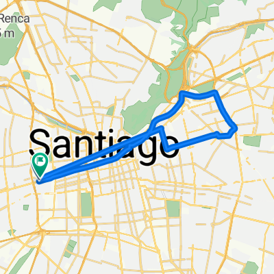
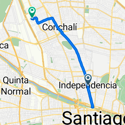
Route highlights
Plaza Italia, Primer Punto de Reunión
Carrito Mote con Huesillos Las Vizcachas, Ultimo Punto de Reunión.
San José de Maipo, Punto de descanso y Abastecimiento.
Puente El Cristo, El Velo de la Novia
Helipuerto, Fin Asfaltado según GSV
Refugio Las Melosas (Carabineros de Chile), Punto de Interés.
Portal Ñuñoa, Segundo Punto de Reunión, Bike Repair Stand
Continue with Bikemap
You would like to ride Plaza Italia, Las Vizcachas, Las Melosas y vuelta or customize it for your own trip? Here is what you can do with this Bikemap route:
Free trial for 3 days, or one-time payment. More about Bikemap Premium.
Discover more Premium features.
Get Bikemap PremiumFrom our community
Open it in the app