

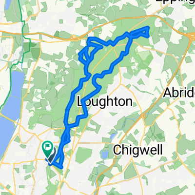
North Weald Airfield
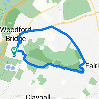
A cycling route starting in Woodford Green, England, United Kingdom.
Overview
About this route
My training route.
- -:--
- Duration
- 89.1 km
- Distance
- 377 m
- Ascent
- 377 m
- Descent
- ---
- Avg. speed
- ---
- Max. altitude

Continue with Bikemap
Use, edit, or download this cycling route
You would like to ride North Weald Airfield or customize it for your own trip? Here is what you can do with this Bikemap route:
Free features
- Save this route as favorite or in collections
- Copy & plan your own version of this route
- Split it into stages to create a multi-day tour
- Sync your route with Garmin or Wahoo
Premium features
Free trial for 3 days, or one-time payment. More about Bikemap Premium.
- Navigate this route on iOS & Android
- Export a GPX / KML file of this route
- Create your custom printout (try it for free)
- Download this route for offline navigation
Discover more Premium features.
Get Bikemap PremiumFrom our community
Other popular routes starting in Woodford Green
 Bisops Green Cycling
- Distance
- 123.5 km
- Ascent
- 401 m
- Descent
- 401 m
- Location
- Woodford Green, England, United Kingdom
 5km running
- Distance
- 5.3 km
- Ascent
- 69 m
- Descent
- 66 m
- Location
- Woodford Green, England, United Kingdom
 Debden-Woodford loop
- Distance
- 13.2 km
- Ascent
- 6 m
- Descent
- 0 m
- Location
- Woodford Green, England, United Kingdom
 Highams Park to Kings Cross
- Distance
- 15.4 km
- Ascent
- 69 m
- Descent
- 66 m
- Location
- Woodford Green, England, United Kingdom
 8.5km local ride
- Distance
- 8.5 km
- Ascent
- 62 m
- Descent
- 63 m
- Location
- Woodford Green, England, United Kingdom
 Southand-in-Sea - Shoeburyness NOT carriageway
- Distance
- 121.4 km
- Ascent
- 510 m
- Descent
- 510 m
- Location
- Woodford Green, England, United Kingdom
 Chingford to Monkwood Via High Beach
- Distance
- 28.2 km
- Ascent
- 292 m
- Descent
- 295 m
- Location
- Woodford Green, England, United Kingdom
 North Weald Airfield
- Distance
- 89.1 km
- Ascent
- 377 m
- Descent
- 377 m
- Location
- Woodford Green, England, United Kingdom
Open it in the app