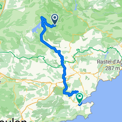
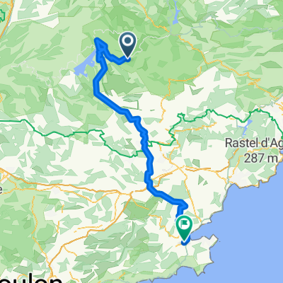
Allauch 9. Etappe
- 122.8 km
- 1,204 m
- 1,660 m
- Castellane, Provence-Alpes-Côte d'Azur Region, France
A cycling route starting in Castellane, Provence-Alpes-Côte d'Azur Region, France.
Overview
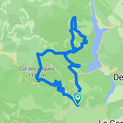
Following the ancient Romans (difficult route, 20 km, 500 meters of elevation gain, MTB bike) This is indeed an abbreviated version of the route 'Castellane - Rougon via the ancient Roman road', running from Castellane – la Colle – Villards-Brandis with Chapelle Saint-Jean – Chasteuil – Castellane.
created this 16 years ago
Route quality
Quiet road
6.9 km
(35 %)
Path
3 km
(15 %)
Paved
11.1 km
(56 %)
Unpaved
5 km
(25 %)
Asphalt
11.1 km
(56 %)
Unpaved (undefined)
4.8 km
(24 %)
Route highlights
Camping
Continue with Bikemap
You would like to ride Sladem starozytnych Rzymian or customize it for your own trip? Here is what you can do with this Bikemap route:
Free trial for 3 days, or one-time payment. More about Bikemap Premium.
Discover more Premium features.
Get Bikemap PremiumFrom our community
Open it in the app