

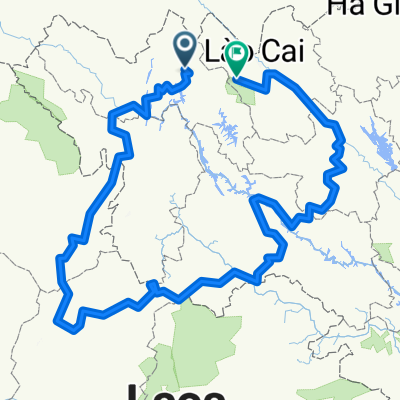
2T05_Sa Pa
A cycling route starting in Lai Châu, Lai Châu Province, Vietnam.
Overview
About this route
SOA 2016, Etappe 2, Tag 5, Lai Chau -> Sa Pa
- -:--
- Duration
- 67.6 km
- Distance
- 1,801 m
- Ascent
- 1,223 m
- Descent
- ---
- Avg. speed
- ---
- Max. altitude

Continue with Bikemap
Use, edit, or download this cycling route
You would like to ride 2T05_Sa Pa or customize it for your own trip? Here is what you can do with this Bikemap route:
Free features
- Save this route as favorite or in collections
- Copy & plan your own version of this route
- Sync your route with Garmin or Wahoo
Premium features
Free trial for 3 days, or one-time payment. More about Bikemap Premium.
- Navigate this route on iOS & Android
- Export a GPX / KML file of this route
- Create your custom printout (try it for free)
- Download this route for offline navigation
Discover more Premium features.
Get Bikemap PremiumFrom our community
Other popular routes starting in Lai Châu
 Lai Chau - Sa Pa
- Distance
- 70.7 km
- Ascent
- 1,815 m
- Descent
- 1,250 m
- Location
- Lai Châu, Lai Châu Province, Vietnam
 Lai Chau to Sin Ho
- Distance
- 61.1 km
- Ascent
- 1,491 m
- Descent
- 863 m
- Location
- Lai Châu, Lai Châu Province, Vietnam
 2T05_Sa Pa
- Distance
- 67.6 km
- Ascent
- 1,801 m
- Descent
- 1,223 m
- Location
- Lai Châu, Lai Châu Province, Vietnam
 Day 11: Lai Chau - Sa Pa
- Distance
- 72.5 km
- Ascent
- 1,889 m
- Descent
- 1,293 m
- Location
- Lai Châu, Lai Châu Province, Vietnam
 Lai Chau - Sapa
- Distance
- 72.1 km
- Ascent
- 1,833 m
- Descent
- 1,284 m
- Location
- Lai Châu, Lai Châu Province, Vietnam
 Day 14 Lai Chau to Sa Pa (Alternative)
- Distance
- 68 km
- Ascent
- 1,829 m
- Descent
- 1,251 m
- Location
- Lai Châu, Lai Châu Province, Vietnam
 Ck 32 From Lai Chau to Sapa
- Distance
- 1,378.8 km
- Ascent
- 75,342 m
- Descent
- 74,903 m
- Location
- Lai Châu, Lai Châu Province, Vietnam
 2T05 Sa Pa
- Distance
- 67.8 km
- Ascent
- 1,820 m
- Descent
- 1,238 m
- Location
- Lai Châu, Lai Châu Province, Vietnam
Open it in the app