

MONTE FEMA
A cycling route starting in Pie' del Sasso, The Marches, Italy.
Overview
About this route
Il Monte Fema è un bellissimo balcone panoramico che domina la valle di Visso e quasi tutto il settore nord-occidentale dei Sibillini. La durissima forestale che sale fino in vetta viene ampiamente ripagata dai meravigliosi panorami e dalla bellissima discesa finale nella valle del Torricchio.
- -:--
- Duration
- 24.3 km
- Distance
- 1,368 m
- Ascent
- 1,349 m
- Descent
- ---
- Avg. speed
- ---
- Max. altitude

Route quality
Waytypes & surfaces along the route
Waytypes
Track
13 km
(53 %)
Path
5.2 km
(21 %)
Surfaces
Unpaved
3.3 km
(14 %)
Gravel
1.9 km
(8 %)
Ground
0.7 km
(3 %)
Continue with Bikemap
Use, edit, or download this cycling route
You would like to ride MONTE FEMA or customize it for your own trip? Here is what you can do with this Bikemap route:
Free features
- Save this route as favorite or in collections
- Copy & plan your own version of this route
- Sync your route with Garmin or Wahoo
Premium features
Free trial for 3 days, or one-time payment. More about Bikemap Premium.
- Navigate this route on iOS & Android
- Export a GPX / KML file of this route
- Create your custom printout (try it for free)
- Download this route for offline navigation
Discover more Premium features.
Get Bikemap PremiumFrom our community
Other popular routes starting in Pie' del Sasso
 Traccia 16/mar/2014 08:15:44
- Distance
- 29.4 km
- Ascent
- 1,423 m
- Descent
- 1,423 m
- Location
- Pie' del Sasso, The Marches, Italy
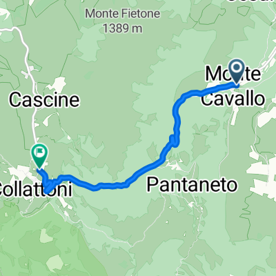 Salita da Monte Cavallo a Collattoni
- Distance
- 4.7 km
- Ascent
- 454 m
- Descent
- 40 m
- Location
- Pie' del Sasso, The Marches, Italy
 Monte Cavallo e piana di Colfiorito
- Distance
- 46.4 km
- Ascent
- 1,276 m
- Descent
- 1,276 m
- Location
- Pie' del Sasso, The Marches, Italy
 Monte Cavallo Colfiorito
- Distance
- 36.3 km
- Ascent
- 974 m
- Descent
- 974 m
- Location
- Pie' del Sasso, The Marches, Italy
 Monte Cavallo - Frontignano di Ussita
- Distance
- 63 km
- Ascent
- 1,193 m
- Descent
- 1,193 m
- Location
- Pie' del Sasso, The Marches, Italy
 Monte Cavallo - Macereto
- Distance
- 53.2 km
- Ascent
- 1,053 m
- Descent
- 1,036 m
- Location
- Pie' del Sasso, The Marches, Italy
 Montecavallo - Torricchio
- Distance
- 25.5 km
- Ascent
- 790 m
- Descent
- 790 m
- Location
- Pie' del Sasso, The Marches, Italy
 Pantaneto (MC) • Cima Corno
- Distance
- 16.6 km
- Ascent
- 616 m
- Descent
- 616 m
- Location
- Pie' del Sasso, The Marches, Italy
Open it in the app