

Curug Malela
A cycling route starting in Margahayukencana, West Java, Indonesia.
Overview
About this route
start dari kopo sayati
- -:--
- Duration
- 64.3 km
- Distance
- 707 m
- Ascent
- 449 m
- Descent
- ---
- Avg. speed
- ---
- Max. altitude

Continue with Bikemap
Use, edit, or download this cycling route
You would like to ride Curug Malela or customize it for your own trip? Here is what you can do with this Bikemap route:
Free features
- Save this route as favorite or in collections
- Copy & plan your own version of this route
- Sync your route with Garmin or Wahoo
Premium features
Free trial for 3 days, or one-time payment. More about Bikemap Premium.
- Navigate this route on iOS & Android
- Export a GPX / KML file of this route
- Create your custom printout (try it for free)
- Download this route for offline navigation
Discover more Premium features.
Get Bikemap PremiumFrom our community
Other popular routes starting in Margahayukencana
 Bandung North Loop
- Distance
- 169.6 km
- Ascent
- 1,547 m
- Descent
- 1,547 m
- Location
- Margahayukencana, West Java, Indonesia
 Rahayu, Margaasih – Jl. Meleber.
- Distance
- 6.5 km
- Ascent
- 55 m
- Descent
- 0 m
- Location
- Margahayukencana, West Java, Indonesia
 Jl. Ko Junti Asri No. M1-9, Kabupaten Bandung to Jl. Ko Junti Asri No. M1-9, Kabupaten Bandung
- Distance
- 9.7 km
- Ascent
- 53 m
- Descent
- 51 m
- Location
- Margahayukencana, West Java, Indonesia
 CC - Kebon Kopi - JSPD - Tamiya
- Distance
- 70.5 km
- Ascent
- 1,206 m
- Descent
- 1,206 m
- Location
- Margahayukencana, West Java, Indonesia
 Margaasih - Jl. Raya Lembang
- Distance
- 23.4 km
- Ascent
- 604 m
- Descent
- 31 m
- Location
- Margahayukencana, West Java, Indonesia
 Jl Junti Kaler No. 43, Kabupaten Bandung to Jl. Ko Junti Asri No. M1-10, Kabupaten Bandung
- Distance
- 15.4 km
- Ascent
- 129 m
- Descent
- 127 m
- Location
- Margahayukencana, West Java, Indonesia
 Kawah Tangkuban Parahu lewat Sukawana
- Distance
- 65.9 km
- Ascent
- 1,385 m
- Descent
- 1,381 m
- Location
- Margahayukencana, West Java, Indonesia
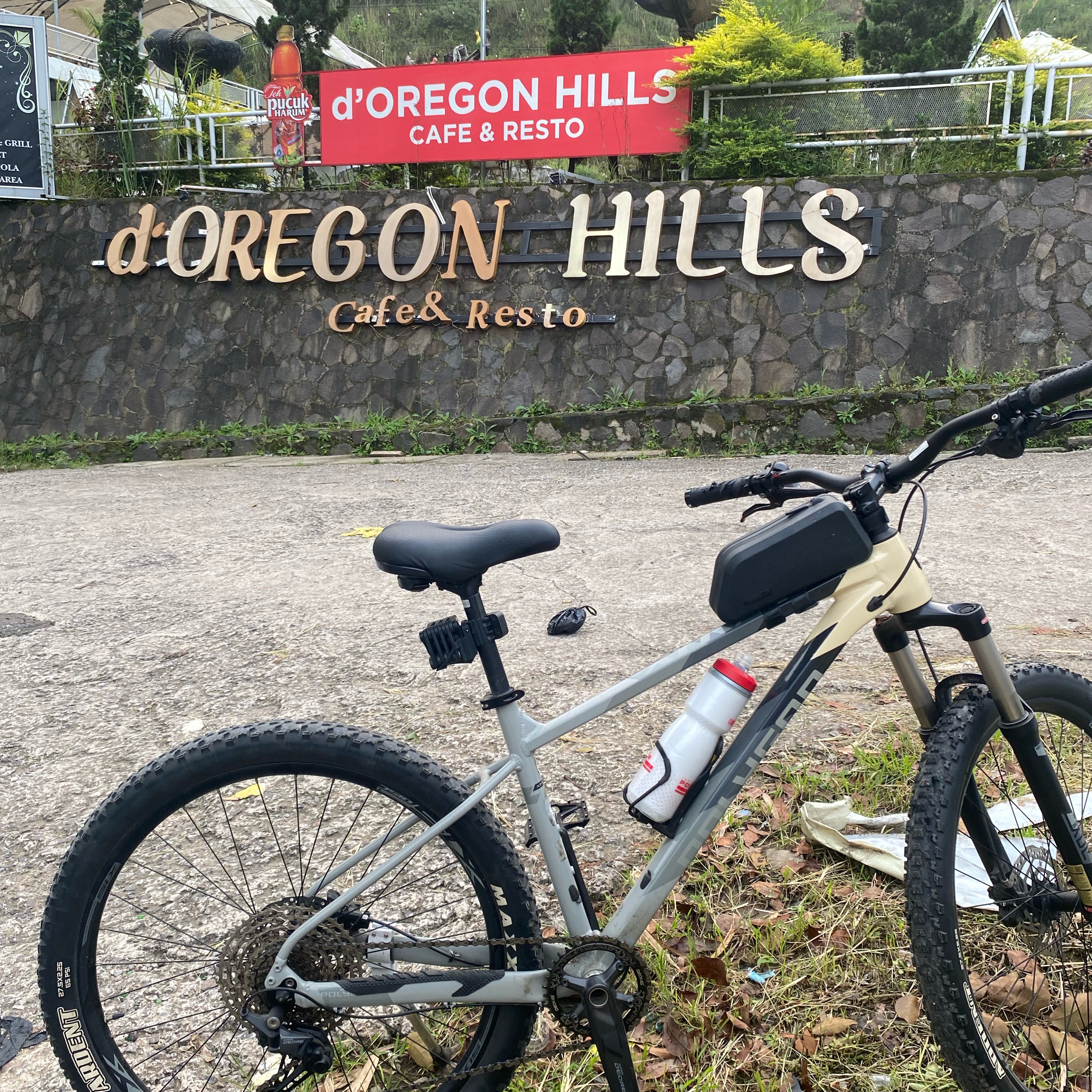 Rahayu, Margaasih – d'OREGON HILLS
- Distance
- 15.3 km
- Ascent
- 201 m
- Descent
- 29 m
- Location
- Margahayukencana, West Java, Indonesia
Open it in the app