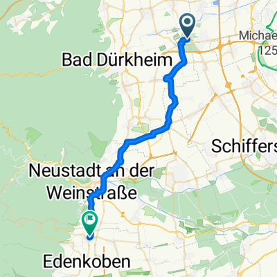
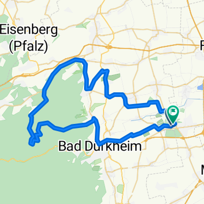
Zum Kaffee nach Frankreich und zurück
A cycling route starting in Birkenheide, Rhineland-Palatinate, Germany.
Overview
About this route
- -:--
- Duration
- 137.9 km
- Distance
- 691 m
- Ascent
- 617 m
- Descent
- ---
- Avg. speed
- 260 m
- Max. altitude
Route quality
Waytypes & surfaces along the route
Waytypes
Busy road
46.9 km
(34 %)
Quiet road
30.2 km
(22 %)
Surfaces
Paved
114.8 km
(83 %)
Unpaved
5 km
(4 %)
Asphalt
99.7 km
(72 %)
Paved (undefined)
8.1 km
(6 %)
Continue with Bikemap
Use, edit, or download this cycling route
You would like to ride Zum Kaffee nach Frankreich und zurück or customize it for your own trip? Here is what you can do with this Bikemap route:
Free features
- Save this route as favorite or in collections
- Copy & plan your own version of this route
- Split it into stages to create a multi-day tour
- Sync your route with Garmin or Wahoo
Premium features
Free trial for 3 days, or one-time payment. More about Bikemap Premium.
- Navigate this route on iOS & Android
- Export a GPX / KML file of this route
- Create your custom printout (try it for free)
- Download this route for offline navigation
Discover more Premium features.
Get Bikemap PremiumFrom our community
Other popular routes starting in Birkenheide
- nördliche Weinstrasse
- Distance
- 32.8 km
- Ascent
- 342 m
- Descent
- 342 m
- Location
- Birkenheide, Rhineland-Palatinate, Germany
- Pfälzer Flachland 28km
- Distance
- 27.7 km
- Ascent
- 62 m
- Descent
- 57 m
- Location
- Birkenheide, Rhineland-Palatinate, Germany
- Kleine Maxdorfer
- Distance
- 33.2 km
- Ascent
- 256 m
- Descent
- 230 m
- Location
- Birkenheide, Rhineland-Palatinate, Germany
- Zum Kaffee nach Frankreich und zurück
- Distance
- 137.9 km
- Ascent
- 691 m
- Descent
- 617 m
- Location
- Birkenheide, Rhineland-Palatinate, Germany
- Rundstrecke Abt.Ski ASV Birkenheide
- Distance
- 22.9 km
- Ascent
- 74 m
- Descent
- 73 m
- Location
- Birkenheide, Rhineland-Palatinate, Germany
- Maxdorf Potzberg
- Distance
- 78.7 km
- Ascent
- 832 m
- Descent
- 383 m
- Location
- Birkenheide, Rhineland-Palatinate, Germany
- Pfälzer Königsetappe
- Distance
- 182.3 km
- Ascent
- 2,738 m
- Descent
- 2,592 m
- Location
- Birkenheide, Rhineland-Palatinate, Germany
- Weinwege
- Distance
- 45 km
- Ascent
- 220 m
- Descent
- 224 m
- Location
- Birkenheide, Rhineland-Palatinate, Germany
Open it in the app