route rond santa christina
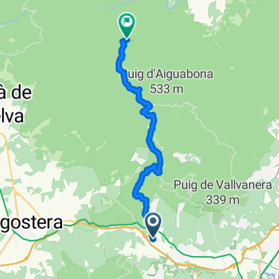
A cycling route starting in Santa Cristina de Aro, Catalonia, Spain.
Overview
About this route
start in santa cristina d'aro,carrer pitarra of monturiol
langs de golfclub naar solius, bezoek aan kerk en kasteelruïne naar camping ridaura the carrilet volgen tot splitsing met EV 8 terugkeren langs het strand bezoek aan de kust van Feliu naar de monti calvari terug naar parking bezoek aan sant felieu (cloned from route 3364596)- -:--
- Duration
- 48.7 km
- Distance
- 454 m
- Ascent
- 454 m
- Descent
- ---
- Avg. speed
- ---
- Avg. speed
Route quality
Waytypes & surfaces along the route
Waytypes
Quiet road
19 km
(39 %)
Cycleway
17.5 km
(36 %)
Surfaces
Paved
24.2 km
(50 %)
Unpaved
8.3 km
(17 %)
Asphalt
20.8 km
(43 %)
Gravel
8 km
(16 %)
Continue with Bikemap
Use, edit, or download this cycling route
You would like to ride route rond santa christina or customize it for your own trip? Here is what you can do with this Bikemap route:
Free features
- Save this route as favorite or in collections
- Copy & plan your own version of this route
- Sync your route with Garmin or Wahoo
Premium features
Free trial for 3 days, or one-time payment. More about Bikemap Premium.
- Navigate this route on iOS & Android
- Export a GPX / KML file of this route
- Create your custom printout (try it for free)
- Download this route for offline navigation
Discover more Premium features.
Get Bikemap PremiumFrom our community
Other popular routes starting in Santa Cristina de Aro
- moutainbike
- Distance
- 25.2 km
- Ascent
- 570 m
- Descent
- 569 m
- Location
- Santa Cristina de Aro, Catalonia, Spain
- casttell
- Distance
- 43.3 km
- Ascent
- 553 m
- Descent
- 548 m
- Location
- Santa Cristina de Aro, Catalonia, Spain
- Platja d'Aro - Puig de les cadiretes - Platja d'Aro
- Distance
- 43.3 km
- Ascent
- 623 m
- Descent
- 629 m
- Location
- Santa Cristina de Aro, Catalonia, Spain
- Mountainbike
- Distance
- 49.4 km
- Ascent
- 231 m
- Descent
- 232 m
- Location
- Santa Cristina de Aro, Catalonia, Spain
- Pujada a Romanya de la Selva
- Distance
- 30.7 km
- Ascent
- 359 m
- Descent
- 359 m
- Location
- Santa Cristina de Aro, Catalonia, Spain
- route rond santa christina
- Distance
- 48.7 km
- Ascent
- 454 m
- Descent
- 454 m
- Location
- Santa Cristina de Aro, Catalonia, Spain
- Romanya de la Selva Rundtour 2
- Distance
- 61.5 km
- Ascent
- 1,282 m
- Descent
- 1,245 m
- Location
- Santa Cristina de Aro, Catalonia, Spain
- 05.04.2012 Montclar Tour?
- Distance
- 41.8 km
- Ascent
- 934 m
- Descent
- 934 m
- Location
- Santa Cristina de Aro, Catalonia, Spain
Open it in the app