Hongrin Loop
A cycling route starting in Aigle, Canton of Vaud, Switzerland.
Overview
About this route
- -:--
- Duration
- 55 km
- Distance
- 2,167 m
- Ascent
- 2,152 m
- Descent
- ---
- Avg. speed
- 1,665 m
- Max. altitude
Route quality
Waytypes & surfaces along the route
Waytypes
Quiet road
31.9 km
(58 %)
Road
11 km
(20 %)
Surfaces
Paved
33 km
(60 %)
Asphalt
30.2 km
(55 %)
Paved (undefined)
2.7 km
(5 %)
Undefined
22 km
(40 %)
Continue with Bikemap
Use, edit, or download this cycling route
You would like to ride Hongrin Loop or customize it for your own trip? Here is what you can do with this Bikemap route:
Free features
- Save this route as favorite or in collections
- Copy & plan your own version of this route
- Sync your route with Garmin or Wahoo
Premium features
Free trial for 3 days, or one-time payment. More about Bikemap Premium.
- Navigate this route on iOS & Android
- Export a GPX / KML file of this route
- Create your custom printout (try it for free)
- Download this route for offline navigation
Discover more Premium features.
Get Bikemap PremiumFrom our community
Other popular routes starting in Aigle
UCI Aigle - Villeneuve- Distance
- 11.7 km
- Ascent
- 17 m
- Descent
- 27 m
- Location
- Aigle, Canton of Vaud, Switzerland
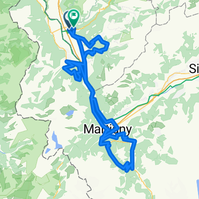
47° Nord Tour de Suisse Etappe 4- Distance
- 63.7 km
- Ascent
- 1,423 m
- Descent
- 938 m
- Location
- Aigle, Canton of Vaud, Switzerland
2014-T12-Aigle-Moudon- Distance
- 51.8 km
- Ascent
- 668 m
- Descent
- 552 m
- Location
- Aigle, Canton of Vaud, Switzerland
Hongrin Loop- Distance
- 55 km
- Ascent
- 2,167 m
- Descent
- 2,152 m
- Location
- Aigle, Canton of Vaud, Switzerland
De Chemin de Pré d'Emoz 3, Aigle à Chemin de Pré d'Emoz 9, Aigle- Distance
- 29.1 km
- Ascent
- 153 m
- Descent
- 160 m
- Location
- Aigle, Canton of Vaud, Switzerland
Aigle-Col du Lein-Col du sanetsch-Aigle- Distance
- 140.1 km
- Ascent
- 3,382 m
- Descent
- 3,381 m
- Location
- Aigle, Canton of Vaud, Switzerland
Complete Alpine Tour- Distance
- 506.5 km
- Ascent
- 5,081 m
- Descent
- 5,093 m
- Location
- Aigle, Canton of Vaud, Switzerland
Etape 3 : Aigle - Gstaad (Tour de Suisse, Aramis) 40 km- Distance
- 39.7 km
- Ascent
- 1,192 m
- Descent
- 601 m
- Location
- Aigle, Canton of Vaud, Switzerland
Open it in the app


