

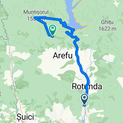
Oesti - Balea Lac (TF)
A cycling route starting in Oeștii Pământeni, Judeţul Argeş, Romania.
Overview
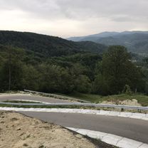
About this route
TF dinspre AG
- -:--
- Duration
- 70.8 km
- Distance
- 1,871 m
- Ascent
- 367 m
- Descent
- ---
- Avg. speed
- ---
- Max. altitude

Route quality
Waytypes & surfaces along the route
Waytypes
Busy road
70.4 km
(99 %)
Access road
0.3 km
(<1 %)
Surfaces
Paved
70.6 km
(100 %)
Unpaved
0.2 km
(<1 %)
Asphalt
70.4 km
(99 %)
Concrete
0.3 km
(<1 %)
Continue with Bikemap
Use, edit, or download this cycling route
You would like to ride Oesti - Balea Lac (TF) or customize it for your own trip? Here is what you can do with this Bikemap route:
Free features
- Save this route as favorite or in collections
- Copy & plan your own version of this route
- Sync your route with Garmin or Wahoo
Premium features
Free trial for 3 days, or one-time payment. More about Bikemap Premium.
- Navigate this route on iOS & Android
- Export a GPX / KML file of this route
- Create your custom printout (try it for free)
- Download this route for offline navigation
Discover more Premium features.
Get Bikemap PremiumFrom our community
Other popular routes starting in Oeștii Pământeni
 Corbeni- Vidraru- Arefu- pana la coborire :(
- Distance
- 29.3 km
- Ascent
- 1,331 m
- Descent
- 588 m
- Location
- Oeștii Pământeni, Judeţul Argeş, Romania
 Relaxed route in
- Distance
- 7.1 km
- Ascent
- 236 m
- Descent
- 233 m
- Location
- Oeștii Pământeni, Judeţul Argeş, Romania
 Roumanie route 3-4j
- Distance
- 389.5 km
- Ascent
- 4,104 m
- Descent
- 4,186 m
- Location
- Oeștii Pământeni, Judeţul Argeş, Romania
 Oestii Ungureni - Podu Dambovitei
- Distance
- 83.2 km
- Ascent
- 1,526 m
- Descent
- 1,196 m
- Location
- Oeștii Pământeni, Judeţul Argeş, Romania
 Traseu Iulian Ştefia
- Distance
- 15.5 km
- Ascent
- 0 m
- Descent
- 6 m
- Location
- Oeștii Pământeni, Judeţul Argeş, Romania
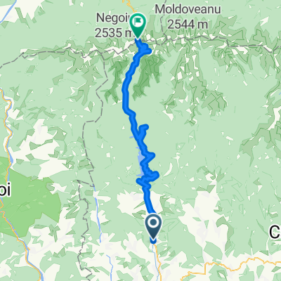
 Transfagarasan
- Distance
- 113.5 km
- Ascent
- 1,851 m
- Descent
- 1,862 m
- Location
- Oeștii Pământeni, Judeţul Argeş, Romania
 Oesti - Balea Lac (TF)
- Distance
- 70.8 km
- Ascent
- 1,871 m
- Descent
- 367 m
- Location
- Oeștii Pământeni, Judeţul Argeş, Romania
 Un traseu de vis!!!
- Distance
- 123.2 km
- Ascent
- 1,659 m
- Descent
- 1,774 m
- Location
- Oeștii Pământeni, Judeţul Argeş, Romania
Open it in the app