

Genf - Lyon - Millau - Agde
A cycling route starting in Geneva, Canton of Geneva, Switzerland.
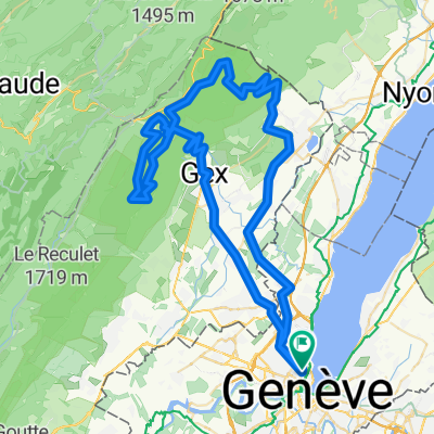
Overview
About this route
- bis 29. 09.2007
Route:
Genf - Lyon - Puy en Velay - Mende - Millau - Aniane - Agde - Marsilliane Plage - Marsilliane
Sehr schöne Tour, öfters auf verkehrsarmen Nebenstrassen, durch wunderschöne Landschaften und Regionen.
Einmal, in Lyon, im Hotel übernachtet, ansonsten immer im Zelt und auch immer selber gekocht.
- -:--
- Duration
- 680.6 km
- Distance
- 2,588 m
- Ascent
- 2,972 m
- Descent
- ---
- Avg. speed
- ---
- Avg. speed

Route highlights
Points of interest along the route
Point of interest after 66.6 km
1. Übernachtung auf dem Campingplatz von Nantua. Leider liegt dieser nicht direkt am See.
Point of interest after 228.8 km
3. Übernachtung Auf dem Campingplatz von St. Galmier
Point of interest after 307.7 km
4. Übernachtung Einfacher Camping direkt an der noch kleinen Loire. Am Morgen war es nur noch wenige Grad über Null und Morgennebelschwaden verdeckten immer wieder die aufgehende Sonne.
Point of interest after 456.4 km
5. Übernachtung Campingplatz, einige 100m flussaufwärts, zwischen Strasse und Fluss. Ich denke, der einfachste Camping, auf dem ich je war. Preis: € 4.20 Die Anmeldung nur ein alter Wohnwagen. Aber es hatte immerhin Warmwasserduschen!
Continue with Bikemap
Use, edit, or download this cycling route
You would like to ride Genf - Lyon - Millau - Agde or customize it for your own trip? Here is what you can do with this Bikemap route:
Free features
- Save this route as favorite or in collections
- Copy & plan your own version of this route
- Split it into stages to create a multi-day tour
- Sync your route with Garmin or Wahoo
Premium features
Free trial for 3 days, or one-time payment. More about Bikemap Premium.
- Navigate this route on iOS & Android
- Export a GPX / KML file of this route
- Create your custom printout (try it for free)
- Download this route for offline navigation
Discover more Premium features.
Get Bikemap PremiumFrom our community
Other popular routes starting in Geneva
![29.08 [parcours valloné-roulant]](https://media.bikemap.net/routes/4408925/staticmaps/in_ef9e8f71-6a59-4ff9-a5ee-ab6aa312b752_400x400_bikemap-2021-3D-static.png) 29.08 [parcours valloné-roulant]
29.08 [parcours valloné-roulant]- Distance
- 93.7 km
- Ascent
- 439 m
- Descent
- 440 m
- Location
- Geneva, Canton of Geneva, Switzerland
 Backside of the Jura, over Faucille, Marchairuz
- Distance
- 139 km
- Ascent
- 2,635 m
- Descent
- 2,595 m
- Location
- Geneva, Canton of Geneva, Switzerland
 Day 1 Geneva to La Clusaz
- Distance
- 105.8 km
- Ascent
- 2,193 m
- Descent
- 1,533 m
- Location
- Geneva, Canton of Geneva, Switzerland
 Two cols 110 km nice hard ride
- Distance
- 118.1 km
- Ascent
- 2,037 m
- Descent
- 2,037 m
- Location
- Geneva, Canton of Geneva, Switzerland
 Pas de l'Echine
- Distance
- 84.8 km
- Ascent
- 1,707 m
- Descent
- 1,705 m
- Location
- Geneva, Canton of Geneva, Switzerland
 Route to Fort L'Écluse
- Distance
- 93.9 km
- Ascent
- 1,463 m
- Descent
- 1,464 m
- Location
- Geneva, Canton of Geneva, Switzerland
 Vallée Verte Col Hunting
- Distance
- 92.6 km
- Ascent
- 1,629 m
- Descent
- 1,577 m
- Location
- Geneva, Canton of Geneva, Switzerland
 J.6.Genf - Lyon Zentrum
- Distance
- 195.8 km
- Ascent
- 1,023 m
- Descent
- 1,174 m
- Location
- Geneva, Canton of Geneva, Switzerland
Open it in the app