Lake Anterselva - Valdaora
- 20.1 km
- 0 m
- 0 m
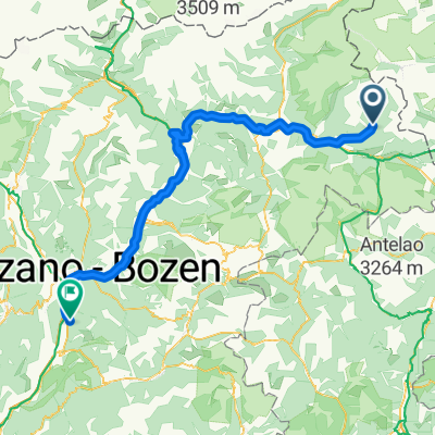
- San Martino, Trentino-Alto Adige, Italy
A cycling route starting in San Martino, Trentino-Alto Adige, Italy.
Overview
created this 10 years ago
Route highlights

Lago di Anterselva
Continue with Bikemap
You would like to ride Recording from 7 Gennaio 11:14 AM or customize it for your own trip? Here is what you can do with this Bikemap route:
Free trial for 3 days, or one-time payment. More about Bikemap Premium.
Discover more Premium features.
Get Bikemap PremiumFrom our community
Open it in the app