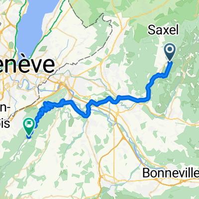
CduSoleil tronc. I-03
A cycling route starting in Boëge, Auvergne-Rhône-Alpes, France.
Overview
About this route
Les Chemins du Soleil - Tome 1
- -:--
- Duration
- 12.2 km
- Distance
- 134 m
- Ascent
- 363 m
- Descent
- ---
- Avg. speed
- ---
- Max. altitude
Route quality
Waytypes & surfaces along the route
Waytypes
Path
5.4 km
(44 %)
Track
3.5 km
(28 %)
Surfaces
Paved
1.3 km
(10 %)
Unpaved
3.5 km
(28 %)
Unpaved (undefined)
1.9 km
(15 %)
Mud
1.2 km
(10 %)
Route highlights
Points of interest along the route
Accommodation after 4.8 km
Chambre du Chalet, Boëge
Accommodation after 5.7 km
Gîte du Margouillat
Continue with Bikemap
Use, edit, or download this cycling route
You would like to ride CduSoleil tronc. I-03 or customize it for your own trip? Here is what you can do with this Bikemap route:
Free features
- Save this route as favorite or in collections
- Copy & plan your own version of this route
- Sync your route with Garmin or Wahoo
Premium features
Free trial for 3 days, or one-time payment. More about Bikemap Premium.
- Navigate this route on iOS & Android
- Export a GPX / KML file of this route
- Create your custom printout (try it for free)
- Download this route for offline navigation
Discover more Premium features.
Get Bikemap PremiumFrom our community
Other popular routes starting in Boëge
- Habère Lullin - Col de Cou
- Distance
- 5.3 km
- Ascent
- 285 m
- Descent
- 5 m
- Location
- Boëge, Auvergne-Rhône-Alpes, France
- Saxel monastere
- Distance
- 11.5 km
- Ascent
- 669 m
- Descent
- 18 m
- Location
- Boëge, Auvergne-Rhône-Alpes, France
- Chalet d'Ajon
- Distance
- 25.6 km
- Ascent
- 888 m
- Descent
- 887 m
- Location
- Boëge, Auvergne-Rhône-Alpes, France
- bonne terramont feu arces bonne
- Distance
- 49.4 km
- Ascent
- 834 m
- Descent
- 1,089 m
- Location
- Boëge, Auvergne-Rhône-Alpes, France
- ludran
- Distance
- 32.6 km
- Ascent
- 744 m
- Descent
- 740 m
- Location
- Boëge, Auvergne-Rhône-Alpes, France
- PERRET, por Villard
- Distance
- 2.7 km
- Ascent
- 202 m
- Descent
- 9 m
- Location
- Boëge, Auvergne-Rhône-Alpes, France
- Boëge — Thonon-les-Bains.
- Distance
- 82.1 km
- Ascent
- 1,922 m
- Descent
- 2,223 m
- Location
- Boëge, Auvergne-Rhône-Alpes, France
- EDT 2023 - coupe Saxel + Cou + Feu
- Distance
- 15.5 km
- Ascent
- 452 m
- Descent
- 154 m
- Location
- Boëge, Auvergne-Rhône-Alpes, France
Open it in the app