

Fietsroute Versie 3.28
A cycling route starting in SeaTac, Washington, United States.
Overview
About this route
Seattle to LA in 2800 km
(cloned from route 3373387)
- -:--
- Duration
- 2,783.1 km
- Distance
- 12,574 m
- Ascent
- 12,681 m
- Descent
- ---
- Avg. speed
- ---
- Max. altitude
Route highlights
Points of interest along the route
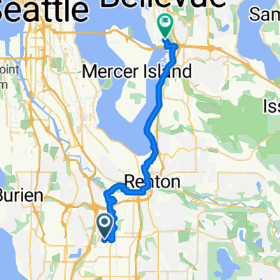
Point of interest after 64.8 km
Night 1
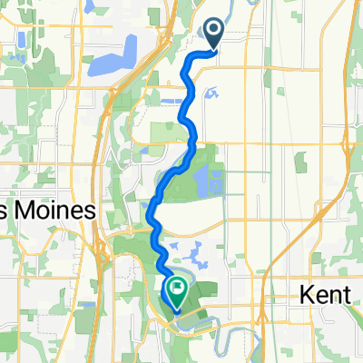
Point of interest after 146.7 km
Night 2
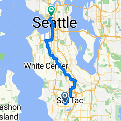
Point of interest after 223 km
Night 3 (Boondocking)
Point of interest after 321.2 km
Night 4
Point of interest after 404.7 km
Night 5
Point of interest after 482.3 km
Night 6 (wildkamperen)
Point of interest after 570.6 km
Night 7
Point of interest after 653.5 km
Night 8/9 (motel?)
Point of interest after 737.3 km
Night 10
Point of interest after 810.2 km
Night 11
Point of interest after 888 km
Night 12
Point of interest after 974.4 km
Night 13
Point of interest after 1,060.2 km
Night 14
Point of interest after 1,127.3 km
Night 15
Point of interest after 1,205.3 km
Night 16/17
Point of interest after 1,293.4 km
Night 18
Point of interest after 1,358.5 km
Night 19
Point of interest after 1,424 km
Night 20
Point of interest after 1,508.1 km
Night 21
Point of interest after 1,598.2 km
Night 22
Point of interest after 1,679 km
Night 23/24
Point of interest after 1,749.5 km
Night 25
Point of interest after 1,833 km
Night 26
Point of interest after 1,894 km
Night 27
Point of interest after 1,963.2 km
Night 28/29
Continue with Bikemap
Use, edit, or download this cycling route
You would like to ride Fietsroute Versie 3.28 or customize it for your own trip? Here is what you can do with this Bikemap route:
Free features
- Save this route as favorite or in collections
- Copy & plan your own version of this route
- Split it into stages to create a multi-day tour
- Sync your route with Garmin or Wahoo
Premium features
Free trial for 3 days, or one-time payment. More about Bikemap Premium.
- Navigate this route on iOS & Android
- Export a GPX / KML file of this route
- Create your custom printout (try it for free)
- Download this route for offline navigation
Discover more Premium features.
Get Bikemap PremiumFrom our community
Other popular routes starting in SeaTac
 Andover Park W, タックウィラへベルビュー
- Distance
- 27.2 km
- Ascent
- 125 m
- Descent
- 116 m
- Location
- SeaTac, Washington, United States
 62nd Ave S, Kent to W Meeker St, Kent
- Distance
- 7.5 km
- Ascent
- 10 m
- Descent
- 3 m
- Location
- SeaTac, Washington, United States
 US Westcoast Seattle - San Diego
- Distance
- 2,984.5 km
- Ascent
- 1,661 m
- Descent
- 1,779 m
- Location
- SeaTac, Washington, United States
 66th Avenue South 19215, Kent to 62nd Avenue South 25331, Kent
- Distance
- 11.2 km
- Ascent
- 22 m
- Descent
- 16 m
- Location
- SeaTac, Washington, United States
 Fietsroute Versie 3.28
- Distance
- 2,783.1 km
- Ascent
- 12,574 m
- Descent
- 12,681 m
- Location
- SeaTac, Washington, United States
 SeaTac
- Distance
- 31.3 km
- Ascent
- 220 m
- Descent
- 323 m
- Location
- SeaTac, Washington, United States
 From SeaTac to citizenM
- Distance
- 30.8 km
- Ascent
- 291 m
- Descent
- 385 m
- Location
- SeaTac, Washington, United States
 Seattle Loop
- Distance
- 1,886.2 km
- Ascent
- 3,805 m
- Descent
- 3,611 m
- Location
- SeaTac, Washington, United States
Open it in the app