Stellenbosch Old Helshoogte via Polkadraai
A cycling route starting in Kraaifontein, Province of the Western Cape, Republic of South Africa.
Overview
About this route
Stellenbosch Old Helshoogte via Polkadraai
- -:--
- Duration
- 73.8 km
- Distance
- 627 m
- Ascent
- 627 m
- Descent
- ---
- Avg. speed
- ---
- Avg. speed
Route quality
Waytypes & surfaces along the route
Waytypes
Busy road
33.4 km
(45 %)
Road
26.4 km
(36 %)
Surfaces
Paved
63.9 km
(87 %)
Unpaved
0.1 km
(<1 %)
Asphalt
63.6 km
(86 %)
Concrete
0.3 km
(<1 %)
Continue with Bikemap
Use, edit, or download this cycling route
You would like to ride Stellenbosch Old Helshoogte via Polkadraai or customize it for your own trip? Here is what you can do with this Bikemap route:
Free features
- Save this route as favorite or in collections
- Copy & plan your own version of this route
- Sync your route with Garmin or Wahoo
Premium features
Free trial for 3 days, or one-time payment. More about Bikemap Premium.
- Navigate this route on iOS & Android
- Export a GPX / KML file of this route
- Create your custom printout (try it for free)
- Download this route for offline navigation
Discover more Premium features.
Get Bikemap PremiumFrom our community
Other popular routes starting in Kraaifontein
- 45Km Durbanville wine rout
- Distance
- 45.9 km
- Ascent
- 328 m
- Descent
- 324 m
- Location
- Kraaifontein, Province of the Western Cape, Republic of South Africa
- Stellenbosch Old Helshoogte via Polkadraai
- Distance
- 73.8 km
- Ascent
- 627 m
- Descent
- 627 m
- Location
- Kraaifontein, Province of the Western Cape, Republic of South Africa
- Long Slow Ride
- Distance
- 93 km
- Ascent
- 518 m
- Descent
- 513 m
- Location
- Kraaifontein, Province of the Western Cape, Republic of South Africa
- Group Ride (Long and Slow)
- Distance
- 83.4 km
- Ascent
- 415 m
- Descent
- 415 m
- Location
- Kraaifontein, Province of the Western Cape, Republic of South Africa
- Long Hill Ride
- Distance
- 68.7 km
- Ascent
- 679 m
- Descent
- 684 m
- Location
- Kraaifontein, Province of the Western Cape, Republic of South Africa
- R302 40, Cape Town to Unnamed Road
- Distance
- 70.5 km
- Ascent
- 619 m
- Descent
- 586 m
- Location
- Kraaifontein, Province of the Western Cape, Republic of South Africa
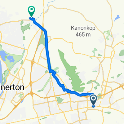
- Long Route Farm Road Loop With a M&B Stop
- Distance
- 101.4 km
- Ascent
- 0 m
- Descent
- 0 m
- Location
- Kraaifontein, Province of the Western Cape, Republic of South Africa
- Long Ride + Short Cut
- Distance
- 81.2 km
- Ascent
- 399 m
- Descent
- 399 m
- Location
- Kraaifontein, Province of the Western Cape, Republic of South Africa
Open it in the app