

Gherla-Stufarisurile de la Sic
A cycling route starting in Gherla, Cluj County, Romania.
Overview
About this route
Un traseu mediu cu coborari si urcari din care o coborare si urcare e cu panta de 10%.
Un traseu frumos ,ve-ti intalni 2 rezervatii "Lacul Stiucii" si rezervatia "Stufarisurile de la Sic".In total ar fi 36-39 de km dus-intors.
- -:--
- Duration
- 17.8 km
- Distance
- 133 m
- Ascent
- 88 m
- Descent
- ---
- Avg. speed
- 363 m
- Max. altitude

Route quality
Waytypes & surfaces along the route
Waytypes
Track
1.1 km
(6 %)
Quiet road
0.7 km
(4 %)
Undefined
16 km
(90 %)
Surfaces
Paved
16 km
(90 %)
Unpaved
1.2 km
(7 %)
Asphalt
16 km
(90 %)
Gravel
1.2 km
(7 %)
Undefined
0.5 km
(3 %)
Route highlights
Points of interest along the route
Point of interest after 10 km
Rezervatia "Lacul Stiucii"
Point of interest after 16.8 km
Rezervatia "Stufarisurile de la Sic"
Continue with Bikemap
Use, edit, or download this cycling route
You would like to ride Gherla-Stufarisurile de la Sic or customize it for your own trip? Here is what you can do with this Bikemap route:
Free features
- Save this route as favorite or in collections
- Copy & plan your own version of this route
- Sync your route with Garmin or Wahoo
Premium features
Free trial for 3 days, or one-time payment. More about Bikemap Premium.
- Navigate this route on iOS & Android
- Export a GPX / KML file of this route
- Create your custom printout (try it for free)
- Download this route for offline navigation
Discover more Premium features.
Get Bikemap PremiumFrom our community
Other popular routes starting in Gherla
 Extreme up and down
- Distance
- 6.1 km
- Ascent
- 378 m
- Descent
- 378 m
- Location
- Gherla, Cluj County, Romania
 MTB Fizes-Padureni-Gherla(don't try this if your not sure about route)
- Distance
- 21 km
- Ascent
- 307 m
- Descent
- 306 m
- Location
- Gherla, Cluj County, Romania
 Uphill route 2011
- Distance
- 13.2 km
- Ascent
- 218 m
- Descent
- 217 m
- Location
- Gherla, Cluj County, Romania
 Turul balonului
- Distance
- 42.5 km
- Ascent
- 255 m
- Descent
- 256 m
- Location
- Gherla, Cluj County, Romania
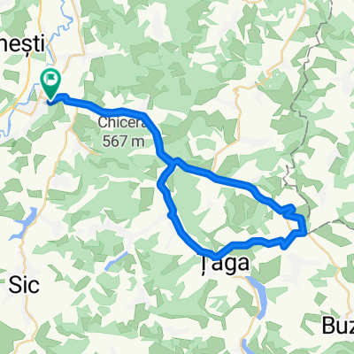
 Spre Lacul Taga
- Distance
- 20.2 km
- Ascent
- 81 m
- Descent
- 47 m
- Location
- Gherla, Cluj County, Romania
 " Salt territories "
- Distance
- 17.7 km
- Ascent
- 98 m
- Descent
- 97 m
- Location
- Gherla, Cluj County, Romania
 Gherla-Poiana Observator
- Distance
- 3.4 km
- Ascent
- 50 m
- Descent
- 50 m
- Location
- Gherla, Cluj County, Romania
 MTB langa padurea Morii
- Distance
- 2.6 km
- Ascent
- 52 m
- Descent
- 13 m
- Location
- Gherla, Cluj County, Romania
Open it in the app