Cerro
- 4.5 km
- 469 m
- 80 m
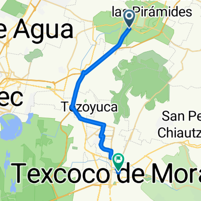
- Teotihuacán, Morelos, Mexico
A cycling route starting in Teotihuacán, Morelos, Mexico.
Overview
J06 – Saturday, January 16, 2016
Teotihuacan – Emiliano Zapata – 50 Kms – Average 15.12 KMS/h Elevation gain 335 meters – max slope 5% Elevation loss 146 meters Max altitude 2536 meterscreated this 9 years ago
Route quality
Quiet road
1.9 km
(4 %)
Access road
0.5 km
(1 %)
Undefined
45.6 km
(95 %)
Paved
16.3 km
(34 %)
Asphalt
16.3 km
(34 %)
Undefined
31.7 km
(66 %)
Continue with Bikemap
You would like to ride J06 – Samedi 16 janvier 2016 - Teotihuacan – Emiliano Zapata or customize it for your own trip? Here is what you can do with this Bikemap route:
Free trial for 3 days, or one-time payment. More about Bikemap Premium.
Discover more Premium features.
Get Bikemap PremiumFrom our community
Open it in the app