


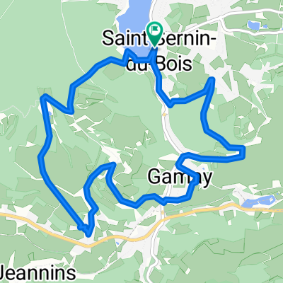
Circuit 7
A cycling route starting in Saint-Sernin-du-Bois, Bourgogne-Franche-Comté, France.
Overview
About this route
0
Circuit 7
- -:--
- Duration
- 6.4 km
- Distance
- 199 m
- Ascent
- 200 m
- Descent
- ---
- Avg. speed
- ---
- Max. altitude
Route quality
Waytypes & surfaces along the route
Waytypes
Track
3 km
47 %
Quiet road
2.2 km
35 %
Surfaces
Paved
1.9 km
(30 %)
Unpaved
1.1 km
(17 %)
Asphalt
1.9 km
30 %
Ground
1.1 km
17 %
Undefined
3.4 km
53 %
Continue with Bikemap
Use, edit, or download this cycling route
You would like to ride Circuit 7 or customize it for your own trip? Here is what you can do with this Bikemap route:
Free features
- Save this route as favorite or in collections
- Copy & plan your own version of this route
- Sync your route with Garmin or Wahoo
Premium features
Free trial for 3 days, or one-time payment. More about Bikemap Premium.
- Navigate this route on iOS & Android
- Export a GPX / KML file of this route
- Create your custom printout (try it for free)
- Download this route for offline navigation
Discover more Premium features.
Get Bikemap PremiumFrom our community
Other popular routes starting in Saint-Sernin-du-Bois

 22 Route de la Croix Forêt, Antully naar 22 Route de la Croix Forêt, Antully1
- 9.8 km
- 187 m
- 189 m
- Saint-Sernin-du-Bois, Bourgogne-Franche-Comté, France


 De N80, Marmagne à Place B. Vergnais, Neuville-sur-Saône0
- 141.6 km
- 551 m
- 907 m
- Saint-Sernin-du-Bois, Bourgogne-Franche-Comté, France


Open it in the app