1T07 Sukhothai
A cycling route starting in Tak, Changwat Tak, Thailand.
Overview
About this route
Süd Ost Asien 2016, Etappe 1, Tag 07
Tak nach Sukhothai- -:--
- Duration
- 84.7 km
- Distance
- 97 m
- Ascent
- 158 m
- Descent
- ---
- Avg. speed
- ---
- Max. altitude
Continue with Bikemap
Use, edit, or download this cycling route
You would like to ride 1T07 Sukhothai or customize it for your own trip? Here is what you can do with this Bikemap route:
Free features
- Save this route as favorite or in collections
- Copy & plan your own version of this route
- Split it into stages to create a multi-day tour
- Sync your route with Garmin or Wahoo
Premium features
Free trial for 3 days, or one-time payment. More about Bikemap Premium.
- Navigate this route on iOS & Android
- Export a GPX / KML file of this route
- Create your custom printout (try it for free)
- Download this route for offline navigation
Discover more Premium features.
Get Bikemap PremiumFrom our community
Other popular routes starting in Tak
- Tak-Sam Ngao 57
- Distance
- 56.9 km
- Ascent
- 98 m
- Descent
- 68 m
- Location
- Tak, Changwat Tak, Thailand
- 1T07 Sukhothai
- Distance
- 83 km
- Ascent
- 91 m
- Descent
- 150 m
- Location
- Tak, Changwat Tak, Thailand
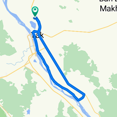
- Long ride from Tak to Sam Ngao
- Distance
- 64.6 km
- Ascent
- 222 m
- Descent
- 91 m
- Location
- Tak, Changwat Tak, Thailand
- 1T07 Sukhothai
- Distance
- 84.7 km
- Ascent
- 97 m
- Descent
- 158 m
- Location
- Tak, Changwat Tak, Thailand
- Tak-Chiang Mai 298
- Distance
- 298.4 km
- Ascent
- 680 m
- Descent
- 478 m
- Location
- Tak, Changwat Tak, Thailand
- 1To7-Sukhothai
- Distance
- 81.8 km
- Ascent
- 75 m
- Descent
- 136 m
- Location
- Tak, Changwat Tak, Thailand
- Tak - Mae Sot
- Distance
- 85.7 km
- Ascent
- 1,197 m
- Descent
- 1,097 m
- Location
- Tak, Changwat Tak, Thailand
- Thailande 2009 [8/21]: Tak - Mae Sot
- Distance
- 92.9 km
- Ascent
- 1,276 m
- Descent
- 1,193 m
- Location
- Tak, Changwat Tak, Thailand
Open it in the app