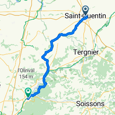
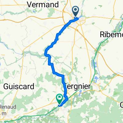
Paris Roubaix Challenge 2011
- 156.7 km
- 273 m
- 322 m
- Saint-Quentin, Hauts-de-France, France
A cycling route starting in Saint-Quentin, Hauts-de-France, France.
Overview
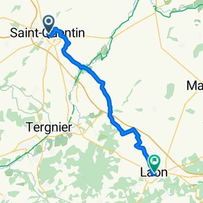
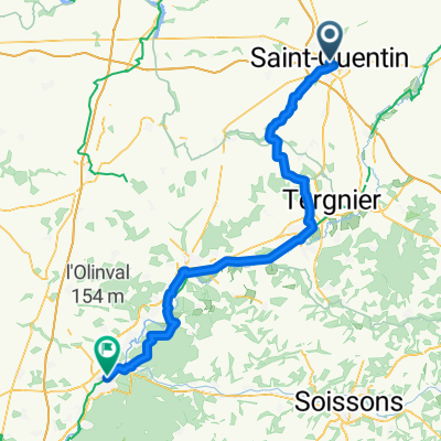
Section of Zeebrugge to St Tropez route
(cloned from route 3385532)
created this 9 years ago
Continue with Bikemap
You would like to ride St Quentin to Soissons or customize it for your own trip? Here is what you can do with this Bikemap route:
Free trial for 3 days, or one-time payment. More about Bikemap Premium.
Discover more Premium features.
Get Bikemap PremiumFrom our community
Open it in the app