

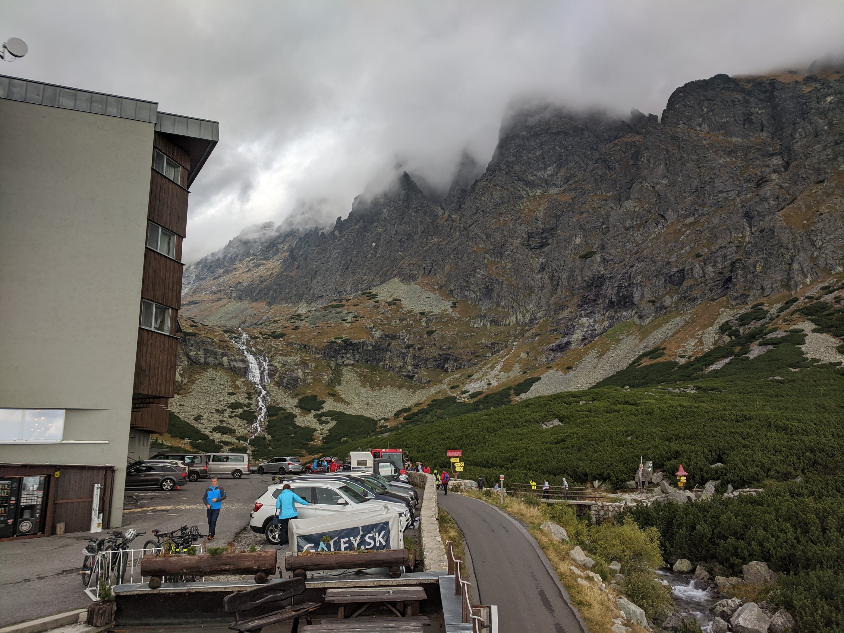
Tatranska Lomnica - Tokaj
A cycling route starting in Vysoké Tatry, Prešov Region, Slovakia.
Overview
About this route
Bike Tour from the High Tatras to Tokaj
(cloned from route 1992702)- -:--
- Duration
- 509.1 km
- Distance
- 867 m
- Ascent
- 1,656 m
- Descent
- ---
- Avg. speed
- ---
- Max. altitude

Route highlights
Points of interest along the route
Point of interest after 30.6 km
Kezmarok
Point of interest after 60.3 km
Levoca
Point of interest after 94.5 km
Krompachy
Point of interest after 143 km
Kosice
Point of interest after 197.9 km
Satoraljaujhely
Point of interest after 242.8 km
Tokaj
Continue with Bikemap
Use, edit, or download this cycling route
You would like to ride Tatranska Lomnica - Tokaj or customize it for your own trip? Here is what you can do with this Bikemap route:
Free features
- Save this route as favorite or in collections
- Copy & plan your own version of this route
- Split it into stages to create a multi-day tour
- Sync your route with Garmin or Wahoo
Premium features
Free trial for 3 days, or one-time payment. More about Bikemap Premium.
- Navigate this route on iOS & Android
- Export a GPX / KML file of this route
- Create your custom printout (try it for free)
- Download this route for offline navigation
Discover more Premium features.
Get Bikemap PremiumFrom our community
Other popular routes starting in Vysoké Tatry
 Vysoké Tatry do Vysoké Tatry
- Distance
- 10.6 km
- Ascent
- 266 m
- Descent
- 289 m
- Location
- Vysoké Tatry, Prešov Region, Slovakia
 Vysoké Tatry do Rázcestie nad Popradským plesom, Vysoké Tatry
- Distance
- 11.9 km
- Ascent
- 788 m
- Descent
- 303 m
- Location
- Vysoké Tatry, Prešov Region, Slovakia
 VT - nakolo blizsie :D
- Distance
- 21.8 km
- Ascent
- 1,489 m
- Descent
- 1,490 m
- Location
- Vysoké Tatry, Prešov Region, Slovakia
 Sliezsky dom z Polianky
- Distance
- 6.7 km
- Ascent
- 733 m
- Descent
- 91 m
- Location
- Vysoké Tatry, Prešov Region, Slovakia
 Skalnaté pleso-1krát
- Distance
- 4.2 km
- Ascent
- 857 m
- Descent
- 0 m
- Location
- Vysoké Tatry, Prešov Region, Slovakia
 Vysoké Tatry do Poštová 4023, Vysoké Tatry
- Distance
- 20.6 km
- Ascent
- 569 m
- Descent
- 127 m
- Location
- Vysoké Tatry, Prešov Region, Slovakia
 Día 5. Stary Smokovec - Liptovsky Mikulas
- Distance
- 85.4 km
- Ascent
- 467 m
- Descent
- 904 m
- Location
- Vysoké Tatry, Prešov Region, Slovakia
 Chata Pri Zelenom Plese
- Distance
- 11 km
- Ascent
- 734 m
- Descent
- 36 m
- Location
- Vysoké Tatry, Prešov Region, Slovakia
Open it in the app