

Covarrubias-Puentedura-Lerma-Tordueles-Covarrubias
A cycling route starting in Covarrubias, Castille and León, Spain.
Overview
About this route
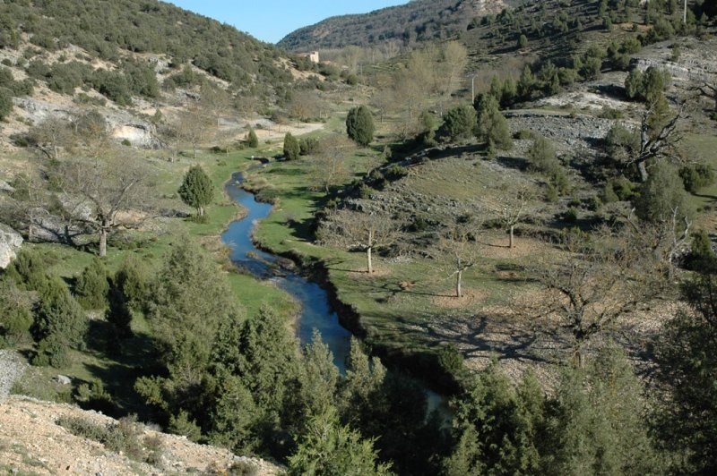
Starting from Covarrubias, cross the bridge over the Arlanza River towards Retuerta. Just after crossing the bridge, turn left into Arrabal and take the track leading to the Redonda Hermitage. Continue along a tree-lined path with a short climb and descent down to Puentedura. Cross the bridge and turn left onto the road to Lerma; after climbing, at 500 meters turn right onto a path. Continue with ups and downs until reaching Quintanilla del Agua. Join the road to Lerma, cross Quintanilla, and take the left turn onto the road to Tordueles. Just after crossing the bridge, take the dirt track on your right. Follow it, passing near the Bascones farm, and in the distance glimpse the Parador de Lerma on the hilltop. Proceed on flat terrain and finish with a short climb to the Parador de Lerma. Return by the same route, passing Bascones farm, reaching the junction with the road to Tordueles, turn right, and by road arrive at and cross Tordueles. Continue on the road to Puentedura, then turn right to cross the village and connect with the path leading back to Covarrubias via the Redonda Hermitage.
The route is flat and easy, but be careful with the wind — when it blows, it really blows!
- -:--
- Duration
- 48.9 km
- Distance
- 209 m
- Ascent
- 208 m
- Descent
- ---
- Avg. speed
- ---
- Max. altitude
Route quality
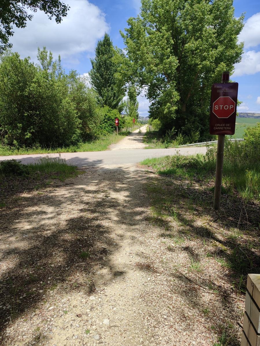
Waytypes & surfaces along the route
Waytypes
Track
33.2 km
(68 %)
Road
8.8 km
(18 %)
Surfaces
Paved
24.4 km
(50 %)
Unpaved
17.6 km
(36 %)
Paved (undefined)
15.6 km
(32 %)
Asphalt
8.8 km
(18 %)
Continue with Bikemap
Use, edit, or download this cycling route
You would like to ride Covarrubias-Puentedura-Lerma-Tordueles-Covarrubias or customize it for your own trip? Here is what you can do with this Bikemap route:
Free features
- Save this route as favorite or in collections
- Copy & plan your own version of this route
- Sync your route with Garmin or Wahoo
Premium features
Free trial for 3 days, or one-time payment. More about Bikemap Premium.
- Navigate this route on iOS & Android
- Export a GPX / KML file of this route
- Create your custom printout (try it for free)
- Download this route for offline navigation
Discover more Premium features.
Get Bikemap PremiumFrom our community
Other popular routes starting in Covarrubias
 29-VI Covarrubias (1) 50km 697m
- Distance
- 49.7 km
- Ascent
- 803 m
- Descent
- 809 m
- Location
- Covarrubias, Castille and León, Spain
 Covarrubias-Huerta del Rey
- Distance
- 60.8 km
- Ascent
- 629 m
- Descent
- 530 m
- Location
- Covarrubias, Castille and León, Spain
 Covarrubias
- Distance
- 51.8 km
- Ascent
- 586 m
- Descent
- 586 m
- Location
- Covarrubias, Castille and León, Spain
 Covarrubias-Ura-Castroceniza-Retuerta-Covarrubias
- Distance
- 24.3 km
- Ascent
- 465 m
- Descent
- 459 m
- Location
- Covarrubias, Castille and León, Spain
 Covarrubias-Mamblas-Puentedura-Covarrubias
- Distance
- 29.4 km
- Ascent
- 366 m
- Descent
- 366 m
- Location
- Covarrubias, Castille and León, Spain
 29-VI Covarrubias-Silos-Ura-Covarrubias (2.1) 44Km 472m
- Distance
- 43.3 km
- Ascent
- 591 m
- Descent
- 601 m
- Location
- Covarrubias, Castille and León, Spain
 29-VI Covarrubias-Silos-Ura-Covarrubias (2.2) 41Km 725m
- Distance
- 41 km
- Ascent
- 794 m
- Descent
- 793 m
- Location
- Covarrubias, Castille and León, Spain
 30-VI Covarrubias-Arlanzón 64Km 384m
- Distance
- 62.2 km
- Ascent
- 539 m
- Descent
- 455 m
- Location
- Covarrubias, Castille and León, Spain
Open it in the app