De Necochea y a Necochea y
- 4.4 km
- 12 m
- 30 m
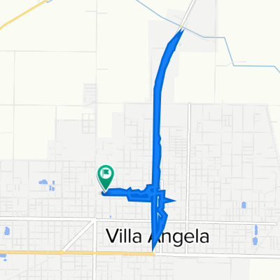
- Villa Ángela, Chaco Province, Argentina
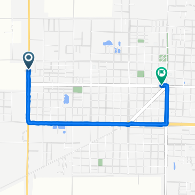
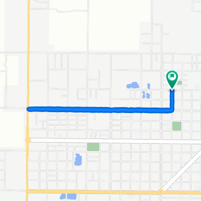
A cycling route starting in Villa Ángela, Chaco Province, Argentina.
Overview
<span style="color: #000000; font-size: 16px; font-family: 'Times New Roman';">Cycle for Heart 2010, Villa Angela to Charadai, Day 57, </span><span style="color: #000000; font-size: 16px; font-family: 'Times New Roman';">www.cycleforheart.org</span>
created this 16 years ago
Route quality
Road
89.8 km
(97 %)
Quiet road
2.8 km
(3 %)
Unpaved
87 km
(94 %)
Unpaved (undefined)
76.8 km
(83 %)
Ground
10.2 km
(11 %)
Undefined
5.6 km
(6 %)
Continue with Bikemap
You would like to ride Cycle for Heart 2010, Villa Angela to Charadai or customize it for your own trip? Here is what you can do with this Bikemap route:
Free trial for 3 days, or one-time payment. More about Bikemap Premium.
Discover more Premium features.
Get Bikemap PremiumFrom our community
Open it in the app