pruba
- 5.8 km
- 24 m
- 14 m
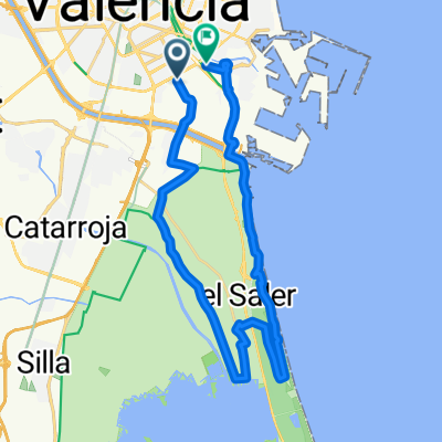
- Sedaví, Valencia, Spain
A cycling route starting in Sedaví, Valencia, Spain.
Overview
Route along the well-known bike lane from Sedaví to Albal.
created this 16 years ago
Route quality
Cycleway
5.6 km
(96 %)
Quiet road
0.2 km
(3 %)
Road
0.1 km
(1 %)
Paved
0.6 km
(10 %)
Concrete
0.6 km
(10 %)
Undefined
5.2 km
(90 %)
Continue with Bikemap
You would like to ride Ruta del colesterol or customize it for your own trip? Here is what you can do with this Bikemap route:
Free trial for 3 days, or one-time payment. More about Bikemap Premium.
Discover more Premium features.
Get Bikemap PremiumFrom our community
Open it in the app