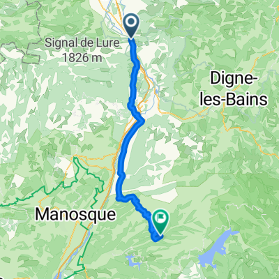
Durance - Buech - Eygues
- 306.8 km
- 1,098 m
- 1,111 m
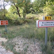
- Sisteron, Provence-Alpes-Côte d'Azur Region, France
A cycling route starting in Sisteron, Provence-Alpes-Côte d'Azur Region, France.
Overview
Alpentocht 2015 alternative: Sisteron - Sault
created this 9 years ago
Route quality
Road
48.6 km
(43 %)
Quiet road
7.9 km
(7 %)
Paved
26 km
(23 %)
Asphalt
23.7 km
(21 %)
Paved (undefined)
2.3 km
(2 %)
Undefined
87 km
(77 %)
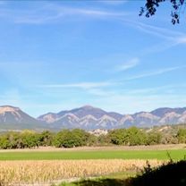
Route highlights

Col Saint-Jean

Col De Perty

Col de l'Homme Mort
Continue with Bikemap
You would like to ride Alpentocht 2015 alternatief dag 4: Sisteron - Sault or customize it for your own trip? Here is what you can do with this Bikemap route:
Free trial for 3 days, or one-time payment. More about Bikemap Premium.
Discover more Premium features.
Get Bikemap PremiumFrom our community
Open it in the app