

Aventicum - Bibracte - Aventicum
A cycling route starting in Avenches, Canton of Vaud, Switzerland.
Overview
About this route
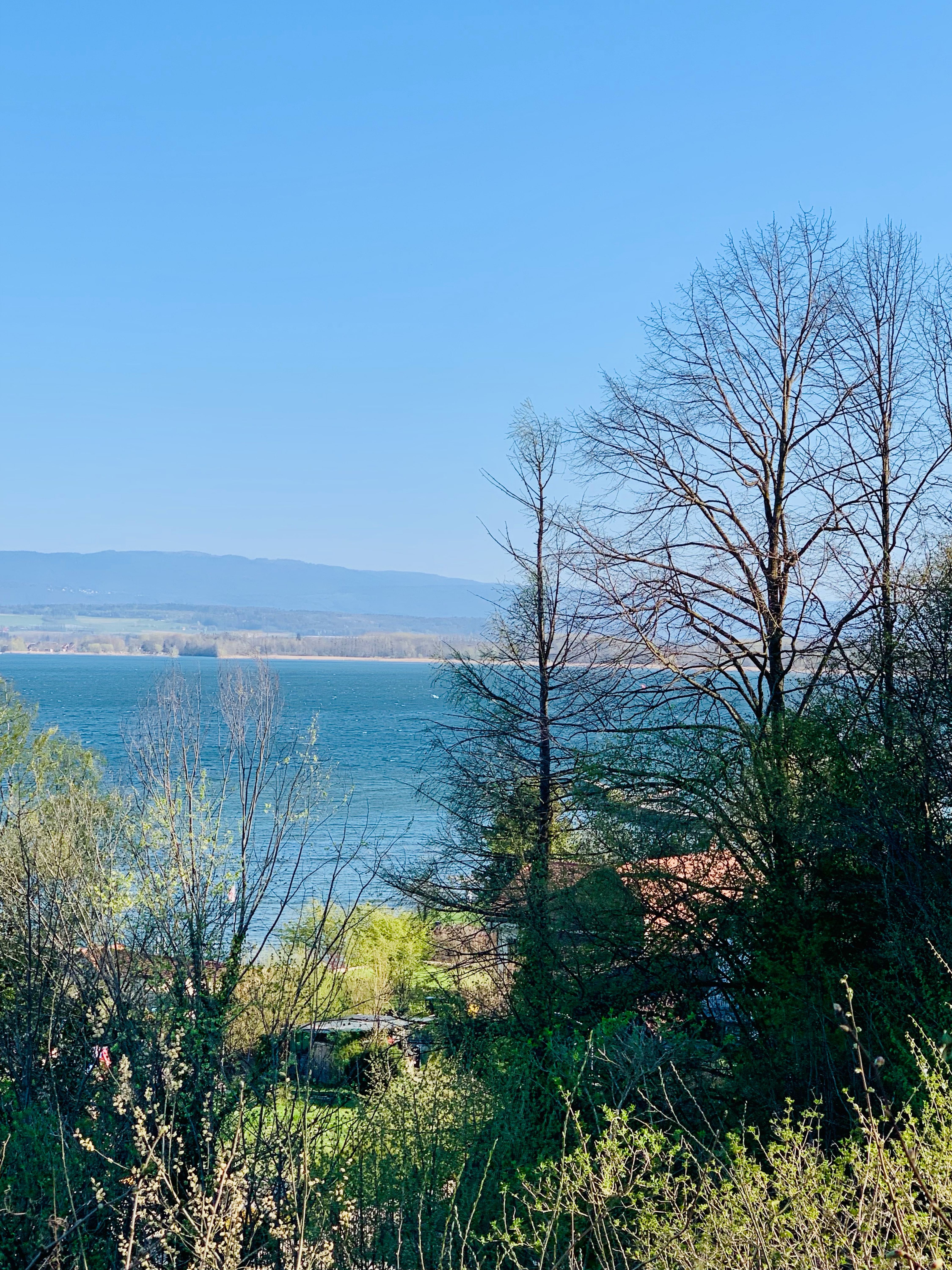
Tour connecting roman archeological sites Aventicum and Bibracte.
- -:--
- Duration
- 586.8 km
- Distance
- 2,127 m
- Ascent
- 2,129 m
- Descent
- ---
- Avg. speed
- ---
- Max. altitude
Route quality
Waytypes & surfaces along the route
Waytypes
Road
176 km
(30 %)
Quiet road
105.6 km
(18 %)
Surfaces
Paved
293.4 km
(50 %)
Unpaved
11.7 km
(2 %)
Asphalt
258.2 km
(44 %)
Concrete
23.5 km
(4 %)
Continue with Bikemap
Use, edit, or download this cycling route
You would like to ride Aventicum - Bibracte - Aventicum or customize it for your own trip? Here is what you can do with this Bikemap route:
Free features
- Save this route as favorite or in collections
- Copy & plan your own version of this route
- Split it into stages to create a multi-day tour
- Sync your route with Garmin or Wahoo
Premium features
Free trial for 3 days, or one-time payment. More about Bikemap Premium.
- Navigate this route on iOS & Android
- Export a GPX / KML file of this route
- Create your custom printout (try it for free)
- Download this route for offline navigation
Discover more Premium features.
Get Bikemap PremiumFrom our community
Other popular routes starting in Avenches
 1. Etappe - Oberdiessbach - Le Lavandou (Oberdiessbach bis Saint Sulpice)
- Distance
- 90.5 km
- Ascent
- 2,773 m
- Descent
- 2,788 m
- Location
- Avenches, Canton of Vaud, Switzerland
 Avenches - Delemont
- Distance
- 135.9 km
- Ascent
- 1,455 m
- Descent
- 1,264 m
- Location
- Avenches, Canton of Vaud, Switzerland
 Murtensee
- Distance
- 75.4 km
- Ascent
- 437 m
- Descent
- 437 m
- Location
- Avenches, Canton of Vaud, Switzerland
 2-Avenches-Thun-88km-1575Hm
- Distance
- 91.9 km
- Ascent
- 1,710 m
- Descent
- 1,610 m
- Location
- Avenches, Canton of Vaud, Switzerland
 Villarepos - Estavayer
- Distance
- 24.1 km
- Ascent
- 149 m
- Descent
- 192 m
- Location
- Avenches, Canton of Vaud, Switzerland
 le mont Vully
- Distance
- 35.6 km
- Ascent
- 548 m
- Descent
- 552 m
- Location
- Avenches, Canton of Vaud, Switzerland
 Tour du Lac de Morat
- Distance
- 50.8 km
- Ascent
- 511 m
- Descent
- 511 m
- Location
- Avenches, Canton of Vaud, Switzerland
 Chemin de la Mésange, Vully-les-Lacs-Route du Gros Buisson 12, Vully-les-Lacs
- Distance
- 27.4 km
- Ascent
- 212 m
- Descent
- 214 m
- Location
- Avenches, Canton of Vaud, Switzerland
Open it in the app