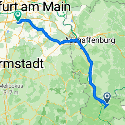
3-Länder-Rad- Event 2015- 2ter Tag
- 78.6 km
- 576 m
- 548 m
- Miltenberg, Bavaria, Germany
A cycling route starting in Miltenberg, Bavaria, Germany.
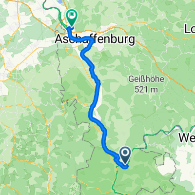
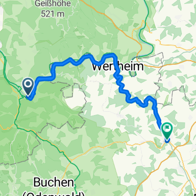
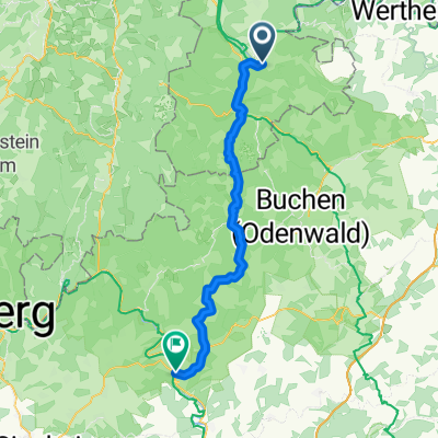
Overview
TEASI Track
created this 9 years ago
Route quality
Cycleway
41.6 km
(36 %)
Quiet road
35.9 km
(31 %)
Paved
109.9 km
(95 %)
Unpaved
1.2 km
(1 %)
Asphalt
108.7 km
(94 %)
Concrete
1.2 km
(1 %)
Route highlights
Hauptstrasse 66-70, Hotel Brauerei Keller
Karlstrasse 16, Zum Goldenen Ochsen
Continue with Bikemap
You would like to ride 7 Miltenberg-Aschaffenburg or customize it for your own trip? Here is what you can do with this Bikemap route:
Free trial for 3 days, or one-time payment. More about Bikemap Premium.
Discover more Premium features.
Get Bikemap PremiumFrom our community
Open it in the app