
Sentul TW by HPW
A cycling route starting in Bogor, West Java, Indonesia.
Overview
About this route
Latgab GGB 30 Jan 2016
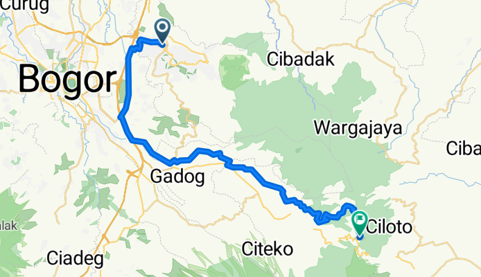
Sentul - Pasir Angin - Cilember - TW klasik- -:--
- Duration
- 38.7 km
- Distance
- 1,320 m
- Ascent
- 88 m
- Descent
- ---
- Avg. speed
- ---
- Max. altitude

Route quality
Waytypes & surfaces along the route
Waytypes
Quiet road
22.4 km
(58 %)
Road
10.4 km
(27 %)
Surfaces
Paved
6.2 km
(16 %)
Unpaved
1.5 km
(4 %)
Asphalt
6.2 km
(16 %)
Unpaved (undefined)
1.5 km
(4 %)
Undefined
31 km
(80 %)
Continue with Bikemap
Use, edit, or download this cycling route
You would like to ride Sentul TW by HPW or customize it for your own trip? Here is what you can do with this Bikemap route:
Free features
- Save this route as favorite or in collections
- Copy & plan your own version of this route
- Sync your route with Garmin or Wahoo
Premium features
Free trial for 3 days, or one-time payment. More about Bikemap Premium.
- Navigate this route on iOS & Android
- Export a GPX / KML file of this route
- Create your custom printout (try it for free)
- Download this route for offline navigation
Discover more Premium features.
Get Bikemap PremiumFrom our community
Other popular routes starting in Bogor
 Jalan Gunung Batu, Kecamatan Babakan Madang to Jalan Pakuan, Kecamatan Babakan Madang
- Distance
- 5.5 km
- Ascent
- 7 m
- Descent
- 358 m
- Location
- Bogor, West Java, Indonesia
 Mang Ujang Cianten
- Distance
- 85.7 km
- Ascent
- 1,267 m
- Descent
- 1,267 m
- Location
- Bogor, West Java, Indonesia
 Sholeh Iskandar, Kampung Sunda, BNR Loop.
- Distance
- 33.8 km
- Ascent
- 500 m
- Descent
- 497 m
- Location
- Bogor, West Java, Indonesia
 CMTB-Hambalang
- Distance
- 20.6 km
- Ascent
- 463 m
- Descent
- 465 m
- Location
- Bogor, West Java, Indonesia
 SENTUL HAMBALANG GN PANCAR
- Distance
- 30.5 km
- Ascent
- 815 m
- Descent
- 811 m
- Location
- Bogor, West Java, Indonesia
 Ahpong-Gunung Geulis-Cibulao
- Distance
- 54.5 km
- Ascent
- 1,398 m
- Descent
- 1,401 m
- Location
- Bogor, West Java, Indonesia
 Sentul- KM 0 -Pondok Pemburu - Gn Pancar
- Distance
- 32.3 km
- Ascent
- 962 m
- Descent
- 965 m
- Location
- Bogor, West Java, Indonesia
 German Cemetery
- Distance
- 19.5 km
- Ascent
- 720 m
- Descent
- 71 m
- Location
- Bogor, West Java, Indonesia
Open it in the app