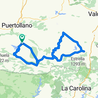
MESTANZA-SOLANILLA-SAN LORENDO-HUERTEZUELAS Y VUELTA
- 129.6 km
- 2,048 m
- 2,048 m
- Mestanza, Castille-La Mancha, Spain
Málaga - Madrid. 2ª mitad
A cycling route starting in Mestanza, Castille-La Mancha, Spain.
Overview
Western Europe Tour. Stage 4
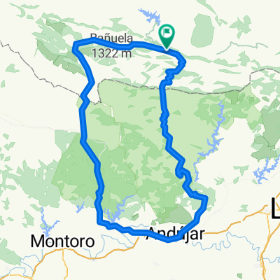
Mestanza - Puertollano - Villamayor de Calatrava - Caracuel de Calatrava - Cañada de Calatrava - Ciudad Real - Malagón - Fuente el Fresno - Consuegra
132.8 km
860 m cumulative positive elevation gain
created this 9 years ago
Part of
Málaga - Madrid. 2ª mitad
2 stages
Route quality
Track
75.7 km
(57 %)
Road
23.9 km
(18 %)
Paved
10.6 km
(8 %)
Unpaved
43.8 km
(33 %)
Unpaved (undefined)
19.9 km
(15 %)
Gravel
13.3 km
(10 %)
Route highlights
Plaza Mayor
Torreón del Alcázar
Posada de los Consules
Continue with Bikemap
You would like to ride Etapa 004C (Mestanza - Consuegra) or customize it for your own trip? Here is what you can do with this Bikemap route:
Free trial for 3 days, or one-time payment. More about Bikemap Premium.
Discover more Premium features.
Get Bikemap PremiumFrom our community
Open it in the app