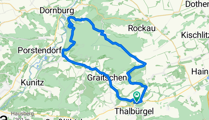

Hufeisen - Kernberge Tour
- 32.2 km
- 555 m
- 555 m
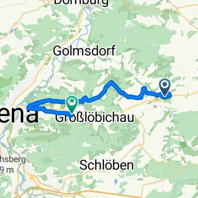
- Bürgel, Thuringia, Germany
A cycling route starting in Bürgel, Thuringia, Germany.
Overview
In this round, you will go all the way around the Tautenburger Forest and right through it. The route mainly leads over gravel. There are 2 real tough climbs in Tautenburg and Dorndorf that can only be tackled by well-trained riders in dry conditions. Additionally, the descents are varied and can be quite demanding.
Have fun!
P.S. The route is a little insider tip and can always be extended along the way!
created this 16 years ago
Route quality
Track
13.7 km
52 %
Path
6.1 km
23 %
Paved
6.1 km
(23 %)
Unpaved
16.9 km
(64 %)
Ground
6.1 km
23 %
Asphalt
5.3 km
20 %
Continue with Bikemap
You would like to ride anspruchsvolle und abwechslungsreiche Berg- und Talfahrt or customize it for your own trip? Here is what you can do with this Bikemap route:
Free trial for 3 days, or one-time payment. More about Bikemap Premium.
Discover more Premium features.
Get Bikemap PremiumFrom our community
Open it in the app