Tölzer Isartal-Tour
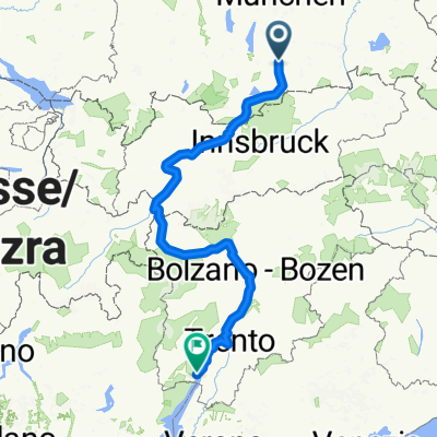
A cycling route starting in Bad Tölz, Bavaria, Germany.
Overview
About this route
Mosers Tour 1 aus seinem Bike-Guide 7; mit GPS aufgezeichnet.
Eine genussvolle Fahrt, wenn nicht zu viel „Verkehr“, auf stets gut fahrbaren Schotterwegen. Bei der Rückfahrt bieten sich eine Reihe von lauschigen Rastplätzen direkt am Wasser an. Besonders gut geeignet an warmen Tagen, da vielfach im Schatten verlaufende Route und ein frisches Lüftchen weht in Flussnähe ohnehin. Beschreibung nach Moser: Sehr reizvolle Bike-Tour in Flussnähe zwischen den Erhebungen der Tegernseer Berge, sowie des Brauneck- und Benediktenwandmassivs. Genussvolles Biken überwiegend auf den Radwegen und den besonders schönen, schmalen Trails durch die Isarauen. Bewertung nach Moser: Mit Ausnahme von teils etwas schmäleren, aber stets bestens fahrbaren Trails keine besonderen Schwierigkeiten.. Bike-Spaß: 1 Stern (von 6); Landschaft: 3 (6); Kondition: 1 (6); Technik: 1 (6) Berichtigung der Höhenmeter lt. GPS-Gerät : 147 Hm(cloned from route 2757064)
- -:--
- Duration
- 26.8 km
- Distance
- 49 m
- Ascent
- 47 m
- Descent
- ---
- Avg. speed
- ---
- Max. altitude
Continue with Bikemap
Use, edit, or download this cycling route
You would like to ride Tölzer Isartal-Tour or customize it for your own trip? Here is what you can do with this Bikemap route:
Free features
- Save this route as favorite or in collections
- Copy & plan your own version of this route
- Sync your route with Garmin or Wahoo
Premium features
Free trial for 3 days, or one-time payment. More about Bikemap Premium.
- Navigate this route on iOS & Android
- Export a GPX / KML file of this route
- Create your custom printout (try it for free)
- Download this route for offline navigation
Discover more Premium features.
Get Bikemap PremiumFrom our community
Other popular routes starting in Bad Tölz
 Alpen Cross No 5
- Distance
- 396 km
- Ascent
- 1,671 m
- Descent
- 2,259 m
- Location
- Bad Tölz, Bavaria, Germany
 Runde um Brauneck/Benediktenwand
- Distance
- 75.4 km
- Ascent
- 1,416 m
- Descent
- 1,416 m
- Location
- Bad Tölz, Bavaria, Germany
 Blomberg
- Distance
- 27.1 km
- Ascent
- 748 m
- Descent
- 709 m
- Location
- Bad Tölz, Bavaria, Germany
 Bad Tölz - München
- Distance
- 60.9 km
- Ascent
- 440 m
- Descent
- 574 m
- Location
- Bad Tölz, Bavaria, Germany
 München - Walchensee - München
- Distance
- 101.2 km
- Ascent
- 1,142 m
- Descent
- 1,081 m
- Location
- Bad Tölz, Bavaria, Germany
 Tölz-Kochel-Einsiedln-Jachenau-Lenggries-Tölz
- Distance
- 80.7 km
- Ascent
- 1,202 m
- Descent
- 1,153 m
- Location
- Bad Tölz, Bavaria, Germany
 Eichmühlstraße, Bad Tölz nach Lengries über Felder, Wiesen und Bauernhöfe zurück
- Distance
- 38.4 km
- Ascent
- 690 m
- Descent
- 696 m
- Location
- Bad Tölz, Bavaria, Germany
 Kleine Tölzer Kirchsee-Runde
- Distance
- 23.1 km
- Ascent
- 137 m
- Descent
- 137 m
- Location
- Bad Tölz, Bavaria, Germany
Open it in the app


