

Hadrian's Wall and Route suggestions
A cycling route starting in Wall, England, United Kingdom.
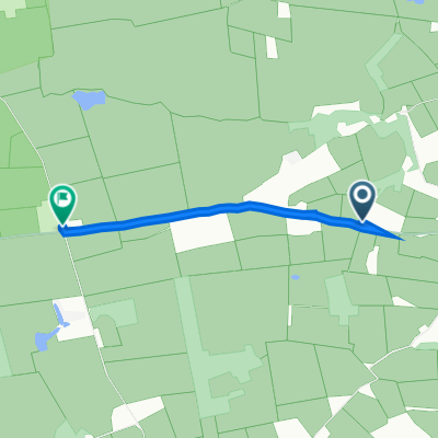
Overview
About this route
..I could've entitled it 'All roads lead to Newcastle' but decide to play it straight.
The route of the Wall can be followed by bicycle in a number of ways - The N72 Hadrians Cycleway being the official route which is reasonably well signed. I have added a few diversions and alternatives, along with visitor information (hopefully uploaded from my Google Maps file used here). This route is doable in 3 days, but you will be riding over the Pennines so expect it to be hard work at times. For better sight-seeing and being less 'Saddlesore', consider making the timeframe longer.- -:--
- Duration
- 773.6 km
- Distance
- 158 m
- Ascent
- 229 m
- Descent
- ---
- Avg. speed
- ---
- Max. altitude
Continue with Bikemap
Use, edit, or download this cycling route
You would like to ride Hadrian's Wall and Route suggestions or customize it for your own trip? Here is what you can do with this Bikemap route:
Free features
- Save this route as favorite or in collections
- Copy & plan your own version of this route
- Split it into stages to create a multi-day tour
- Sync your route with Garmin or Wahoo
Premium features
Free trial for 3 days, or one-time payment. More about Bikemap Premium.
- Navigate this route on iOS & Android
- Export a GPX / KML file of this route
- Create your custom printout (try it for free)
- Download this route for offline navigation
Discover more Premium features.
Get Bikemap PremiumFrom our community
Other popular routes starting in Wall
 hadrian roundtrip
- Distance
- 50.8 km
- Ascent
- 567 m
- Descent
- 557 m
- Location
- Wall, England, United Kingdom
 westall
- Distance
- 41.3 km
- Ascent
- 586 m
- Descent
- 580 m
- Location
- Wall, England, United Kingdom
 Hadrian's Wall and Route suggestions
- Distance
- 773.6 km
- Ascent
- 158 m
- Descent
- 229 m
- Location
- Wall, England, United Kingdom
 The south Day 3
- Distance
- 137.1 km
- Ascent
- 458 m
- Descent
- 512 m
- Location
- Wall, England, United Kingdom
 Stanegate, Newbrough, Hexham to Stanegate, Haydon Bridge, Hexham
- Distance
- 2.5 km
- Ascent
- 169 m
- Descent
- 107 m
- Location
- Wall, England, United Kingdom
 Homer's Lane to The Square 2, Humshaugh
- Distance
- 11.5 km
- Ascent
- 150 m
- Descent
- 95 m
- Location
- Wall, England, United Kingdom
 Humshaugh 15 miler
- Distance
- 25.7 km
- Ascent
- 0 m
- Descent
- 0 m
- Location
- Wall, England, United Kingdom
 ryal bank
- Distance
- 47.4 km
- Ascent
- 376 m
- Descent
- 377 m
- Location
- Wall, England, United Kingdom
Open it in the app