

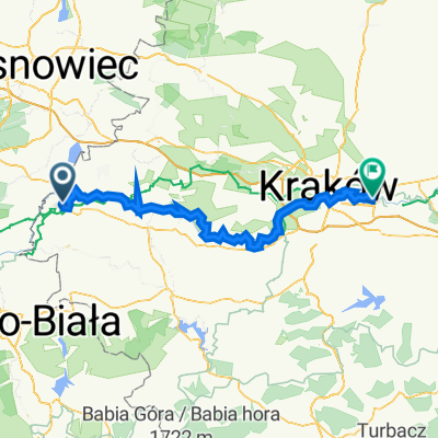
Overview
About this route
- -:--
- Duration
- 2,082.6 km
- Distance
- 3,781 m
- Ascent
- 3,973 m
- Descent
- ---
- Avg. speed
- ---
- Max. altitude

Part of
au
1 stage
Route quality
Waytypes & surfaces along the route
Waytypes
Quiet road
354 km
(17 %)
Road
229.1 km
(11 %)
Surfaces
Paved
1,395.3 km
(67 %)
Unpaved
104.1 km
(5 %)
Asphalt
1,374.5 km
(66 %)
Gravel
41.7 km
(2 %)
Route highlights
Points of interest along the route
Point of interest after 239.3 km
1* Tappa - KROMERITZ Km 195 - Progressivo 195
Point of interest after 420.4 km
2+ Tappa - MARIA DREIEIECHEN Km 175 - Progressivo km 370
Point of interest after 587.5 km
3+ Tappa - ENNS (A) Km 160 - progressivi Km 540
Point of interest after 725.7 km
SIMBACH AM INN (A) 4* Tappa - Km 130 - Progressivo Km 660
Point of interest after 725.8 km
Gastof Wimmer Weissbrau Schulgasse 6
Point of interest after 875.2 km
DACHAU 5* Tappa - Km 135 - Progressivo Km 795
Point of interest after 1,040.8 km
IMSTBERG 6* Tappa km 170 - Progressivi Km 965
Point of interest after 1,222.5 km
CHIAVENNA 7* Tappa - Km 185 - Progressivo Km 1150
Point of interest after 1,342.2 km
LEGNANO 8* Tappa Km 120 - Progressivo Km. 1270
Point of interest after 1,555.2 km
FOSSOLI 9* Tappa Km 210- Progressivo Km 1480
Point of interest after 1,757.8 km
RICCIONE 10* Tappa - 205 - Progressivo Km 1685
Point of interest after 1,926.9 km
ASSISI 11* Tappa Km 185 - Progressivo 1870
Point of interest after 2,082.6 km
ROMA 12* Tappa Km 205 - Progressivo Km 2075
Continue with Bikemap
Use, edit, or download this cycling route
You would like to ride auschwitz 3 or customize it for your own trip? Here is what you can do with this Bikemap route:
Free features
- Save this route as favorite or in collections
- Copy & plan your own version of this route
- Split it into stages to create a multi-day tour
- Sync your route with Garmin or Wahoo
Premium features
Free trial for 3 days, or one-time payment. More about Bikemap Premium.
- Navigate this route on iOS & Android
- Export a GPX / KML file of this route
- Create your custom printout (try it for free)
- Download this route for offline navigation
Discover more Premium features.
Get Bikemap PremiumFrom our community
Other popular routes starting in Brzezinka
 WTR_Oswiecim PKP-KrakówDOM
- Distance
- 82.8 km
- Ascent
- 244 m
- Descent
- 272 m
- Location
- Brzezinka, Lesser Poland Voivodeship, Poland
 Z Oświęcimia do Zwardonia.
- Distance
- 78.4 km
- Ascent
- 668 m
- Descent
- 246 m
- Location
- Brzezinka, Lesser Poland Voivodeship, Poland
 Oświęcim do Feliksa Wrobela , Kraków
- Distance
- 98 km
- Ascent
- 433 m
- Descent
- 476 m
- Location
- Brzezinka, Lesser Poland Voivodeship, Poland
 Oswencim-Katowoce
- Distance
- 36.7 km
- Ascent
- 175 m
- Descent
- 133 m
- Location
- Brzezinka, Lesser Poland Voivodeship, Poland
 auschwitz 3
- Distance
- 2,082.6 km
- Ascent
- 3,781 m
- Descent
- 3,973 m
- Location
- Brzezinka, Lesser Poland Voivodeship, Poland
 oswiecim zator
- Distance
- 55 km
- Ascent
- 143 m
- Descent
- 142 m
- Location
- Brzezinka, Lesser Poland Voivodeship, Poland
 Oświecim-Myślenice-Gródek-Bochnia-Kraków
- Distance
- 360.1 km
- Ascent
- 1,262 m
- Descent
- 1,278 m
- Location
- Brzezinka, Lesser Poland Voivodeship, Poland
 Oświęcim - Kraków WTR
- Distance
- 87.8 km
- Ascent
- 250 m
- Descent
- 270 m
- Location
- Brzezinka, Lesser Poland Voivodeship, Poland
Open it in the app