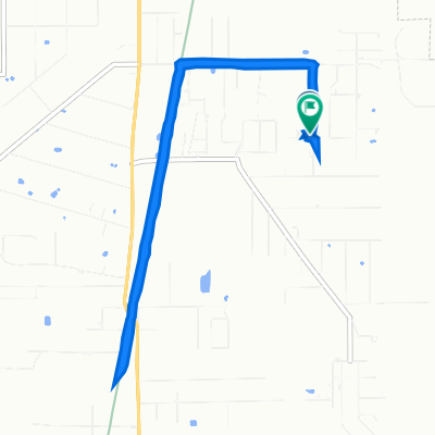
Easy ride in Covington
- 5.5 km
- 32 m
- 38 m
- Abita Springs, Louisiana, United States
A cycling route starting in Abita Springs, Louisiana, United States.
Overview
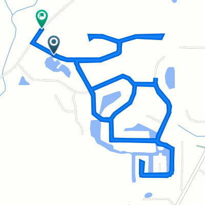
Lee Rd High School to Enon via Smith and Old Military Rd
created this 9 years ago
Route quality
Road
28.7 km
(41 %)
Quiet road
4.9 km
(7 %)
Continue with Bikemap
You would like to ride Lee Rd High School to Enon via Smith and Old Military Rd or customize it for your own trip? Here is what you can do with this Bikemap route:
Free trial for 3 days, or one-time payment. More about Bikemap Premium.
Discover more Premium features.
Get Bikemap PremiumFrom our community
Open it in the app