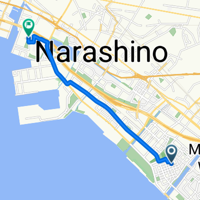
NATURE-CHUO
A cycling route starting in Chiba, Chiba, Japan.
Overview
About this route
Kencho - Tsukinoki - Kasori - Arayashiki - Kencho
- -:--
- Duration
- 17.6 km
- Distance
- 106 m
- Ascent
- 109 m
- Descent
- ---
- Avg. speed
- ---
- Max. altitude
Continue with Bikemap
Use, edit, or download this cycling route
You would like to ride NATURE-CHUO or customize it for your own trip? Here is what you can do with this Bikemap route:
Free features
- Save this route as favorite or in collections
- Copy & plan your own version of this route
- Sync your route with Garmin or Wahoo
Premium features
Free trial for 3 days, or one-time payment. More about Bikemap Premium.
- Navigate this route on iOS & Android
- Export a GPX / KML file of this route
- Create your custom printout (try it for free)
- Download this route for offline navigation
Discover more Premium features.
Get Bikemap PremiumFrom our community
Other popular routes starting in Chiba
- ๅทใจๅ ฐใๅทกใใๅ่ๅธๅ้จใ
- Distance
- 40.6 km
- Ascent
- 131 m
- Descent
- 130 m
- Location
- Chiba, Chiba, Japan
- MONOKARA-CHIBAMINATO-KENCHO
- Distance
- 2.5 km
- Ascent
- 20 m
- Descent
- 28 m
- Location
- Chiba, Chiba, Japan
- MONOKARA-CHIBAMINATO
- Distance
- 2.3 km
- Ascent
- 16 m
- Descent
- 21 m
- Location
- Chiba, Chiba, Japan
- 408-113, Nitonacho, Chuo, Chiba to 408-113, Nitonacho, Chuo, Chiba
- Distance
- 65 km
- Ascent
- 16 m
- Descent
- 48 m
- Location
- Chiba, Chiba, Japan
- Isobe 2-Chลme, Mihama, Chiba to Kotehashicho, Hanamigawa, Chiba
- Distance
- 9.1 km
- Ascent
- 40 m
- Descent
- 19 m
- Location
- Chiba, Chiba, Japan
- MONOKRa-KENCHO-CHIBA
- Distance
- 8.9 km
- Ascent
- 58 m
- Descent
- 49 m
- Location
- Chiba, Chiba, Japan
- BAC-Chiba-Yoshikawa
- Distance
- 10.3 km
- Ascent
- 78 m
- Descent
- 62 m
- Location
- Chiba, Chiba, Japan
- Boso S2: Chiba - Otaki - Awa Kamogawa
- Distance
- 91.1 km
- Ascent
- 422 m
- Descent
- 434 m
- Location
- Chiba, Chiba, Japan
Open it in the app