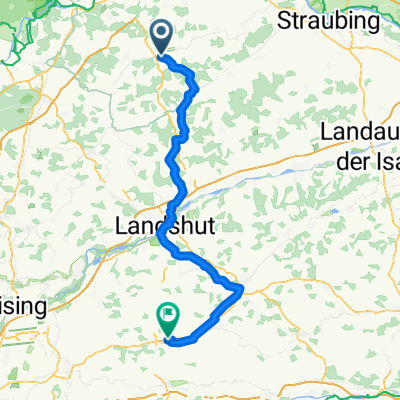
Zeitfahren Schierling
- 31.6 km
- 267 m
- 267 m
- Schierling, Bavaria, Germany
A cycling route starting in Schierling, Bavaria, Germany.
Overview
Route quality
Road
43.4 km
46 %
Quiet road
34.9 km
37 %
Paved
59.4 km
(63 %)
Unpaved
7.5 km
(8 %)
Asphalt
57.6 km
61 %
Gravel
2.8 km
3 %
Route highlights
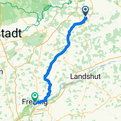
Schierling
Buchhausener Straße
Continue with Bikemap
You would like to ride Radtour Schierling - Altötting or customize it for your own trip? Here is what you can do with this Bikemap route:
Free trial for 3 days, or one-time payment. More about Bikemap Premium.
Discover more Premium features.
Get Bikemap PremiumFrom our community
Open it in the app