

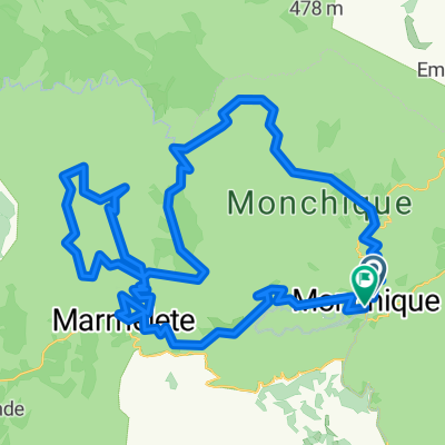
11_FontaSanta
A cycling route starting in Monchique, Faro District, Portugal.
Overview
About this route
TEASI track
- -:--
- Duration
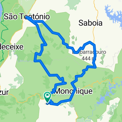
- 4.2 km
- Distance
- 166 m
- Ascent
- 89 m
- Descent
- ---
- Avg. speed
- ---
- Max. altitude
Route highlights
Points of interest along the route
Point of interest after 0 km
11AG01
Point of interest after 0.9 km
11AG02
Point of interest after 3 km
11AG03
Point of interest after 3.4 km
11AG04
Point of interest after 3.6 km
11AG05
Point of interest after 4.2 km
11AG06
Continue with Bikemap
Use, edit, or download this cycling route
You would like to ride 11_FontaSanta or customize it for your own trip? Here is what you can do with this Bikemap route:
Free features
- Save this route as favorite or in collections
- Copy & plan your own version of this route
- Sync your route with Garmin or Wahoo
Premium features
Free trial for 3 days, or one-time payment. More about Bikemap Premium.
- Navigate this route on iOS & Android
- Export a GPX / KML file of this route
- Create your custom printout (try it for free)
- Download this route for offline navigation
Discover more Premium features.
Get Bikemap PremiumFrom our community
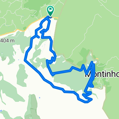
Other popular routes starting in Monchique
 Raid Monchique 75km MTB
- Distance
- 73.4 km
- Ascent
- 1,580 m
- Descent
- 1,548 m
- Location
- Monchique, Faro District, Portugal
 10_NaveCaldas
- Distance
- 12.8 km
- Ascent
- 456 m
- Descent
- 457 m
- Location
- Monchique, Faro District, Portugal
 Guia - Monchique
- Distance
- 51.4 km
- Ascent
- 1,129 m
- Descent
- 1,531 m
- Location
- Monchique, Faro District, Portugal
 11_FontaSanta
- Distance
- 4.2 km
- Ascent
- 166 m
- Descent
- 89 m
- Location
- Monchique, Faro District, Portugal
 Monchique_Alb.
- Distance
- 63.2 km
- Ascent
- 346 m
- Descent
- 700 m
- Location
- Monchique, Faro District, Portugal
 10_CaldasMonch
- Distance
- 2 km
- Ascent
- 144 m
- Descent
- 145 m
- Location
- Monchique, Faro District, Portugal
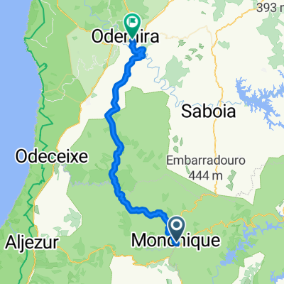
 Von Odemira bis Sines
- Distance
- 113.7 km
- Ascent
- 1,484 m
- Descent
- 1,931 m
- Location
- Monchique, Faro District, Portugal
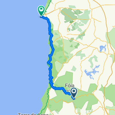
 Vale de Agua - Monchique - Sao Teotonio
- Distance
- 117.3 km
- Ascent
- 1,258 m
- Descent
- 1,255 m
- Location
- Monchique, Faro District, Portugal
Open it in the app