CCE 3 day
- 56.1 km
- 148 m
- 144 m
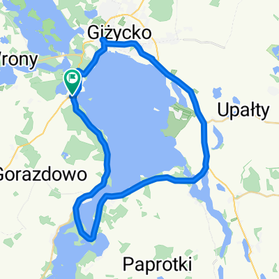
- Giżycko, Warmian-Masurian Voivodeship, Poland
A cycling route starting in Giżycko, Warmian-Masurian Voivodeship, Poland.
Overview
around Giżycko
created this 9 years ago
Route quality
Quiet road
25.8 km
(46 %)
Road
21.9 km
(39 %)
Paved
38.7 km
(69 %)
Unpaved
12.3 km
(22 %)
Asphalt
38.7 km
(69 %)
Gravel
6.7 km
(12 %)
Continue with Bikemap
You would like to ride CCE 3 day or customize it for your own trip? Here is what you can do with this Bikemap route:
Free trial for 3 days, or one-time payment. More about Bikemap Premium.
Discover more Premium features.
Get Bikemap PremiumFrom our community
Open it in the app