

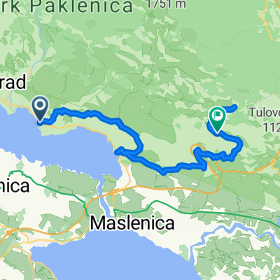
KOLOKA 2016 2.etapa Paklenica-Makarska
A cycling route starting in Starigrad, Zadar County, Croatia.
Overview
About this route
Stage 2. Paklenica-Makarska
- -:--
- Duration
- 248.4 km
- Distance
- 1,186 m
- Ascent
- 1,171 m
- Descent
- ---
- Avg. speed
- ---
- Max. altitude

Route quality
Waytypes & surfaces along the route
Waytypes
Quiet road
19.9 km
(8 %)
Track
9.9 km
(4 %)
Surfaces
Paved
198.8 km
(80 %)
Unpaved
7.5 km
(3 %)
Asphalt
198.8 km
(80 %)
Unpaved (undefined)
5 km
(2 %)
Continue with Bikemap
Use, edit, or download this cycling route
You would like to ride KOLOKA 2016 2.etapa Paklenica-Makarska or customize it for your own trip? Here is what you can do with this Bikemap route:
Free features
- Save this route as favorite or in collections
- Copy & plan your own version of this route
- Split it into stages to create a multi-day tour
- Sync your route with Garmin or Wahoo
Premium features
Free trial for 3 days, or one-time payment. More about Bikemap Premium.
- Navigate this route on iOS & Android
- Export a GPX / KML file of this route
- Create your custom printout (try it for free)
- Download this route for offline navigation
Discover more Premium features.
Get Bikemap PremiumFrom our community
Other popular routes starting in Starigrad
 Sv. Rok-Miškovići
- Distance
- 71 km
- Ascent
- 763 m
- Descent
- 1,334 m
- Location
- Starigrad, Zadar County, Croatia
 Fun 5
Fun 5- Distance
- 66.2 km
- Ascent
- 1,155 m
- Descent
- 1,153 m
- Location
- Starigrad, Zadar County, Croatia
 Test 1
- Distance
- 30 km
- Ascent
- 1,569 m
- Descent
- 697 m
- Location
- Starigrad, Zadar County, Croatia
 4.stage TOC '18 - finish Platak
- Distance
- 204.7 km
- Ascent
- 2,153 m
- Descent
- 1,039 m
- Location
- Starigrad, Zadar County, Croatia
 Starigrad (A) to Paklenička ulica
- Distance
- 21.9 km
- Ascent
- 628 m
- Descent
- 676 m
- Location
- Starigrad, Zadar County, Croatia
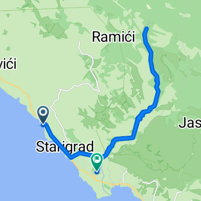
 PL. Dom, Paklenica
- Distance
- 23.8 km
- Ascent
- 1,130 m
- Descent
- 1,130 m
- Location
- Starigrad, Zadar County, Croatia
 KOLOKA 2016 2.etapa Paklenica-Makarska
- Distance
- 248.4 km
- Ascent
- 1,186 m
- Descent
- 1,171 m
- Location
- Starigrad, Zadar County, Croatia
 Snail-like route in Starigrad
- Distance
- 13.7 km
- Ascent
- 1,589 m
- Descent
- 1,588 m
- Location
- Starigrad, Zadar County, Croatia
Open it in the app