
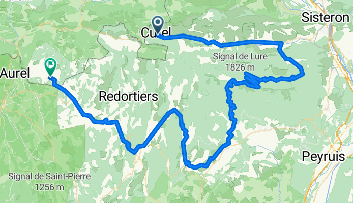
Stage 2 Montfroc - Ferrasiers
A cycling route starting in Laragne-Montéglin, Provence-Alpes-Côte d'Azur Region, France.
Overview
About this route
2 Etappe, 6.5
- -:--
- Duration
- 104.4 km
- Distance
- 1,742 m
- Ascent
- 1,542 m
- Descent
- ---
- Avg. speed
- ---
- Max. altitude

Route quality
Waytypes & surfaces along the route
Waytypes
Road
59.5 km
(57 %)
Track
5.2 km
(5 %)
Surfaces
Paved
80.4 km
(77 %)
Unpaved
2.1 km
(2 %)
Asphalt
80.4 km
(77 %)
Ground
2.1 km
(2 %)
Undefined
21.9 km
(21 %)
Continue with Bikemap
Use, edit, or download this cycling route
You would like to ride Stage 2 Montfroc - Ferrasiers or customize it for your own trip? Here is what you can do with this Bikemap route:
Free features
- Save this route as favorite or in collections
- Copy & plan your own version of this route
- Split it into stages to create a multi-day tour
- Sync your route with Garmin or Wahoo
Premium features
Free trial for 3 days, or one-time payment. More about Bikemap Premium.
- Navigate this route on iOS & Android
- Export a GPX / KML file of this route
- Create your custom printout (try it for free)
- Download this route for offline navigation
Discover more Premium features.
Get Bikemap PremiumFrom our community
Other popular routes starting in Laragne-Montéglin
 D1-Orpierre-St Andre-de-Rosans
- Distance
- 34.1 km
- Ascent
- 622 m
- Descent
- 578 m
- Location
- Laragne-Montéglin, Provence-Alpes-Côte d'Azur Region, France
 Route nach Serre-des-Ormes, Salérans
- Distance
- 21.9 km
- Ascent
- 852 m
- Descent
- 833 m
- Location
- Laragne-Montéglin, Provence-Alpes-Côte d'Azur Region, France
 22-08
22-08- Distance
- 90.6 km
- Ascent
- 1,609 m
- Descent
- 1,149 m
- Location
- Laragne-Montéglin, Provence-Alpes-Côte d'Azur Region, France
 Stage 2 Montfroc - Ferrasiers
- Distance
- 104.4 km
- Ascent
- 1,742 m
- Descent
- 1,542 m
- Location
- Laragne-Montéglin, Provence-Alpes-Côte d'Azur Region, France
 ziua 10 Laragne Monteglin - Barcelonnette
- Distance
- 85.6 km
- Ascent
- 1,000 m
- Descent
- 439 m
- Location
- Laragne-Montéglin, Provence-Alpes-Côte d'Azur Region, France
 hhhjujjjk
- Distance
- 0.2 km
- Ascent
- 0 m
- Descent
- 0 m
- Location
- Laragne-Montéglin, Provence-Alpes-Côte d'Azur Region, France
 Orpierre Rosans Orpierre
- Distance
- 68.5 km
- Ascent
- 1,828 m
- Descent
- 1,828 m
- Location
- Laragne-Montéglin, Provence-Alpes-Côte d'Azur Region, France
 105 Route du Buëch, Val Buëch-Méouge à 50 Ruelle de la Chèvre d'Or, Val Buëch-Méouge
- Distance
- 12.4 km
- Ascent
- 254 m
- Descent
- 172 m
- Location
- Laragne-Montéglin, Provence-Alpes-Côte d'Azur Region, France
Open it in the app