
IKEA Tempelhof-Köpenick
A cycling route starting in Schöneberg, State of Berlin, Germany.
Overview
About this route
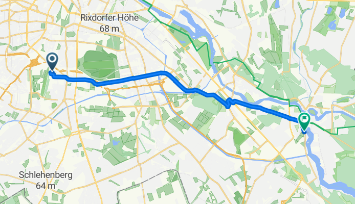
Viel Straße. Tour von IKEA Tempelhof nach Köpenick. Wegpunkte: Hermannstr., Karl-Marx-Str., Südostalle, Oberspree.
- 1 h 4 min
- Duration
- 16.7 km
- Distance
- 44 m
- Ascent
- 47 m
- Descent
- 15.6 km/h
- Avg. speed
- ---
- Max. altitude
Route quality
Waytypes & surfaces along the route
Waytypes
Road
4.7 km
(28 %)
Quiet road
2.7 km
(16 %)
Surfaces
Paved
14 km
(84 %)
Unpaved
0.2 km
(1 %)
Asphalt
14 km
(84 %)
Ground
0.2 km
(1 %)
Undefined
2.5 km
(15 %)
Continue with Bikemap
Use, edit, or download this cycling route
You would like to ride IKEA Tempelhof-Köpenick or customize it for your own trip? Here is what you can do with this Bikemap route:
Free features
- Save this route as favorite or in collections
- Copy & plan your own version of this route
- Sync your route with Garmin or Wahoo
Premium features
Free trial for 3 days, or one-time payment. More about Bikemap Premium.
- Navigate this route on iOS & Android
- Export a GPX / KML file of this route
- Create your custom printout (try it for free)
- Download this route for offline navigation
Discover more Premium features.
Get Bikemap PremiumFrom our community
Other popular routes starting in Schöneberg
 Südkreuz -> Fuchsberg -> Mittenwalde -> Genshagen -> Lankwitz -> Südkreuz
- Distance
- 102.4 km
- Ascent
- 110 m
- Descent
- 107 m
- Location
- Schöneberg, State of Berlin, Germany
 RTF Berlin Total 2015 1. Runde
- Distance
- 78.1 km
- Ascent
- 106 m
- Descent
- 111 m
- Location
- Schöneberg, State of Berlin, Germany
 Zur Pizza nach Mittenwalde
- Distance
- 105 km
- Ascent
- 114 m
- Descent
- 110 m
- Location
- Schöneberg, State of Berlin, Germany
 Südkreuz -> Fuchsberg -> Mittenwalde -> Genshagen -> Lankwitz -> Südkreuz
- Distance
- 102.5 km
- Ascent
- 114 m
- Descent
- 110 m
- Location
- Schöneberg, State of Berlin, Germany
 Südkreuz - Mittenwalde - Zossen - Löwenbruch - Südkreuz
- Distance
- 87.8 km
- Ascent
- 137 m
- Descent
- 137 m
- Location
- Schöneberg, State of Berlin, Germany
 Südrunde via Fuchsberg, Kleinbeeren, Lankwitz
- Distance
- 62.4 km
- Ascent
- 83 m
- Descent
- 85 m
- Location
- Schöneberg, State of Berlin, Germany
 Feierabendrunde ab Südkreuz / 2x über den Fuchsberg
- Distance
- 57.9 km
- Ascent
- 99 m
- Descent
- 100 m
- Location
- Schöneberg, State of Berlin, Germany
 Zur Pizza nach Mittenwalde
- Distance
- 105 km
- Ascent
- 131 m
- Descent
- 127 m
- Location
- Schöneberg, State of Berlin, Germany
Open it in the app