
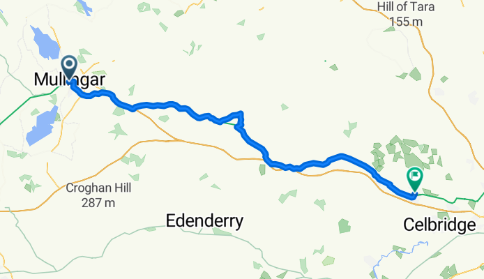
EV02030105 Mullingar - Maynooth
A cycling route starting in Mullingar, Leinster, Ireland.
Overview
About this route
- -:--
- Duration
- 65.7 km
- Distance
- 9 m
- Ascent
- 47 m
- Descent
- ---
- Avg. speed
- ---
- Max. altitude

Route quality
Waytypes & surfaces along the route
Waytypes
Cycleway
33.9 km
(52 %)
Quiet road
15.1 km
(23 %)
Surfaces
Paved
19.3 km
(29 %)
Unpaved
38.8 km
(59 %)
Gravel
37.3 km
(57 %)
Asphalt
16.2 km
(25 %)
Continue with Bikemap
Use, edit, or download this cycling route
You would like to ride EV02030105 Mullingar - Maynooth or customize it for your own trip? Here is what you can do with this Bikemap route:
Free features
- Save this route as favorite or in collections
- Copy & plan your own version of this route
- Sync your route with Garmin or Wahoo
Premium features
Free trial for 3 days, or one-time payment. More about Bikemap Premium.
- Navigate this route on iOS & Android
- Export a GPX / KML file of this route
- Create your custom printout (try it for free)
- Download this route for offline navigation
Discover more Premium features.
Get Bikemap PremiumFrom our community
Other popular routes starting in Mullingar
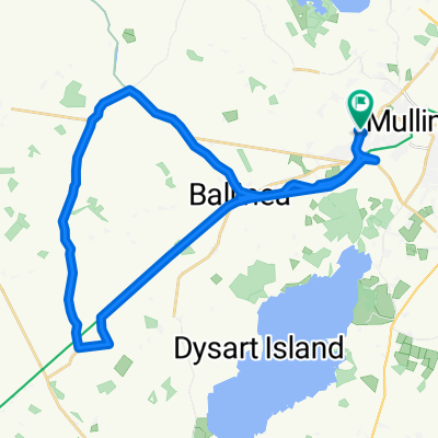 Ardilaun Green 109, Mullingar to Ardilaun Green 131B, Mullingar
- Distance
- 31 km
- Ascent
- 301 m
- Descent
- 360 m
- Location
- Mullingar, Leinster, Ireland
 12341
12341- Distance
- 5 km
- Ascent
- 45 m
- Descent
- 39 m
- Location
- Mullingar, Leinster, Ireland
 Ballina to Abbeyshrule
- Distance
- 22.5 km
- Ascent
- 13 m
- Descent
- 49 m
- Location
- Mullingar, Leinster, Ireland
 Robert1
- Distance
- 10.8 km
- Ascent
- 54 m
- Descent
- 62 m
- Location
- Mullingar, Leinster, Ireland
 Dublin Road, Mullingar to Dublin Road, Mullingar
- Distance
- 18.2 km
- Ascent
- 51 m
- Descent
- 53 m
- Location
- Mullingar, Leinster, Ireland
 8 Lynn Ave, Mullingar to 9 Lynn Ave, Mullingar
- Distance
- 10.7 km
- Ascent
- 20 m
- Descent
- 22 m
- Location
- Mullingar, Leinster, Ireland
 Royal Canal Way to Royal Canal Way
- Distance
- 16.5 km
- Ascent
- 37 m
- Descent
- 42 m
- Location
- Mullingar, Leinster, Ireland
 The Avenue 16, Mullingar to N4
- Distance
- 64.6 km
- Ascent
- 480 m
- Descent
- 490 m
- Location
- Mullingar, Leinster, Ireland
Open it in the app