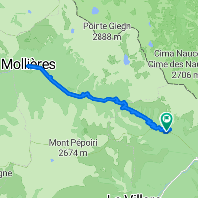
![[Itinéraire] Tête Mercière](https://media.bikemap.net/routes/18279174/staticmaps/in_e1d88a02-41d2-4f61-84f2-3395abc50d13_400x400_bikemap-2021-3D-static.png)
[Itinéraire] Tête Mercière
- 6.5 km
- 403 m
- 400 m
- Saint-Martin-Vésubie, Provence-Alpes-Côte d'Azur Region, France
Provence
A cycling route starting in Saint-Martin-Vésubie, Provence-Alpes-Côte d'Azur Region, France.
Overview
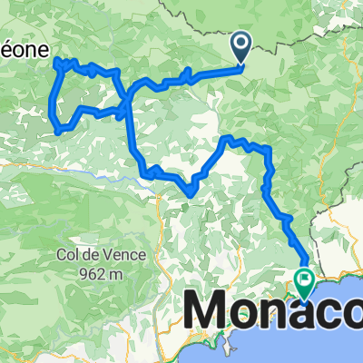
Saint-Sauveur-sur-Tinée - Roubion - Col de la Couillole (1678 m) - Beuil - Gorges du Cians (Cians Gorge) - Rigaud - Touët-sur-Var - Saint-Martin-du-Var - Châteauneuf-Villevieille - Peillon
created this 10 years ago
Part of
8 stages
Route quality
Road
31.4 km
27 %
Quiet road
12.8 km
11 %
Paved
52.3 km
(45 %)
Asphalt
52.3 km
45 %
Undefined
63.9 km
55 %
Continue with Bikemap
You would like to ride Francia- és Provence Alpok, Cote d'Azur 3. nap or customize it for your own trip? Here is what you can do with this Bikemap route:
Free trial for 3 days, or one-time payment. More about Bikemap Premium.
Discover more Premium features.
Get Bikemap PremiumFrom our community
Open it in the app