Simandre - Fleurieu-sur-Saône
- 114.4 km
- 683 m
- 777 m
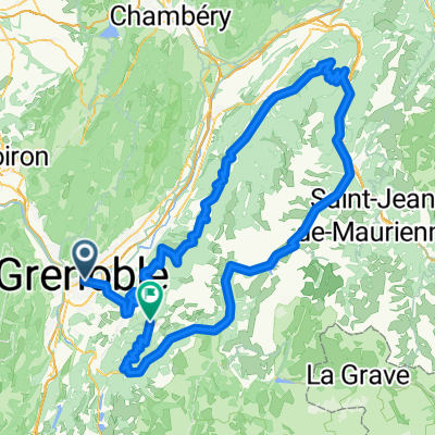
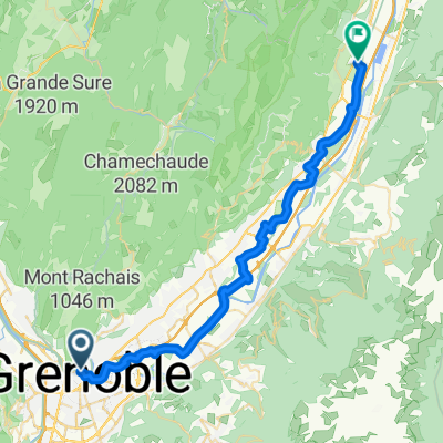
- La Tronche, Auvergne-Rhône-Alpes, France
A cycling route starting in La Tronche, Auvergne-Rhône-Alpes, France.
Overview
Change to the Voiron cycling tour for departure from Grenoble
created this 9 years ago
Route quality
Cycleway
33.5 km
(27 %)
Road
24.8 km
(20 %)
Paved
66.9 km
(54 %)
Asphalt
66.9 km
(54 %)
Undefined
57 km
(46 %)
Continue with Bikemap
You would like to ride randonnée 10 commune 60k départ Grenoble or customize it for your own trip? Here is what you can do with this Bikemap route:
Free trial for 3 days, or one-time payment. More about Bikemap Premium.
Discover more Premium features.
Get Bikemap PremiumFrom our community
Open it in the app