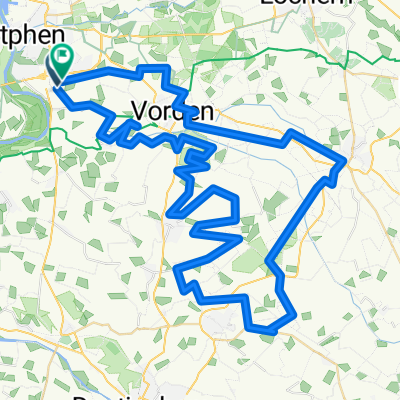
Bokbiertocht 2014
- 80.4 km
- 12 m
- 14 m
- Leesten, Gelderland, The Netherlands
A cycling route starting in Leesten, Gelderland, The Netherlands.
Overview
ETP club ride
created this 9 years ago
Route quality
Quiet road
27.3 km
(35 %)
Road
24.9 km
(32 %)
Paved
71.7 km
(92 %)
Asphalt
71.7 km
(92 %)
Undefined
6.2 km
(8 %)
Route highlights
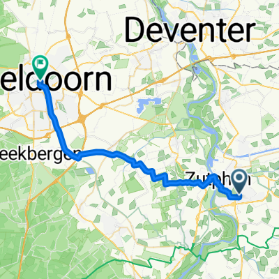
kop van delen. ETP
Continue with Bikemap
You would like to ride Kop Van Delen or customize it for your own trip? Here is what you can do with this Bikemap route:
Free trial for 3 days, or one-time payment. More about Bikemap Premium.
Discover more Premium features.
Get Bikemap PremiumFrom our community
Open it in the app