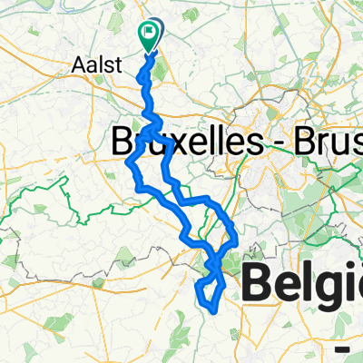
Rit Dirk via Kereit-Londezeel
- 47.5 km
- 173 m
- 162 m
- Opwijk, Flemish Region, Belgium
A cycling route starting in Opwijk, Flemish Region, Belgium.
Overview
Via Hulst - Koereit -steenhuffel - Malderen terug naar opwijk
Route quality
Quiet road
34.2 km
(72 %)
Road
7.1 km
(15 %)
Paved
23.3 km
(49 %)
Unpaved
3.3 km
(7 %)
Asphalt
18.5 km
(39 %)
Concrete
3.8 km
(8 %)
Continue with Bikemap
You would like to ride Rit Dirk via Kereit-Londezeel or customize it for your own trip? Here is what you can do with this Bikemap route:
Free trial for 3 days, or one-time payment. More about Bikemap Premium.
Discover more Premium features.
Get Bikemap PremiumFrom our community
Open it in the app